Our trip from Yarmouth, Nova Scotia to Maine across the Bay of Fundy (also often referred to by sailors as the “Bay of No Fun” due to it’s tidal ranges and tidal currents) turned out a pleasant one. We were rewarded for waiting out some weather for a few more days and letting the fog dissipate. Also, we broke up the journey by stopping in Grand Manan for a night. This large island ended up being our only stop in New Brunswick. It sits about 3/4 of the way across the Bay of Fundy on the way to Maine. Seal Cove on its south side made sense as the winds were coming from the North that night and gave us a little glimpse of a real working fish port. We anchored right past a giant 20 pod fish farm and just south of the harbour break wall. Still, once all the fishing boats were in for the night it was quiet and we were leaving early the next morning.
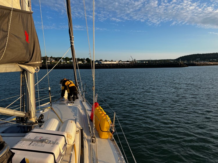
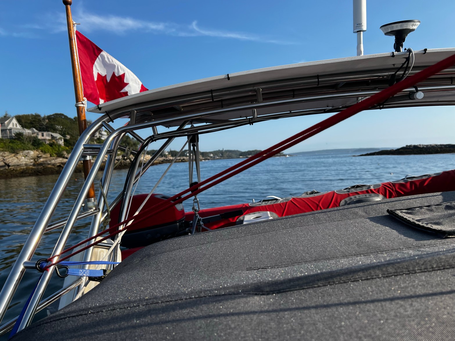
From Grand Manan, we sailed right off the anchor and had the best conditions we had encountered yet on the entire trip. Flat seas and a nice 10kt breeze with some current to bring us to Maine. And as soon as we had crossed that invisible line, the border to the States, there they were: The infamous lobster boats and their string of lobster traps. The fear of everyone who sails these shores. After dodging rows and rows of them and actually even going over a line, where I was sure we would snag it – meanwhile Dave is saying calmly:” It’s fine, don’t panic.”, but we made it through. Following the coast south after hoisting our Q-Flag (the yellow quarantine flag you fly before you have been cleared into a country), we entered Englishman’s Bay to go into Rogues Harbor and Beach. It literally looked like a mine field of traps and most of these were the infamous ones that have a lobster buoy connected to the trap but also a toggle buoy connected with a line just below the surface of the water. That’s the one that usually spells trouble for keels, rudders and props if you go over them with your boat. Here is a good article about lobster pots and boating in Maine. It’s from the Cruising Club of America’s Digital Cruising Guide for Maine – a great resource, which we often consulted for anchorages and marinas.
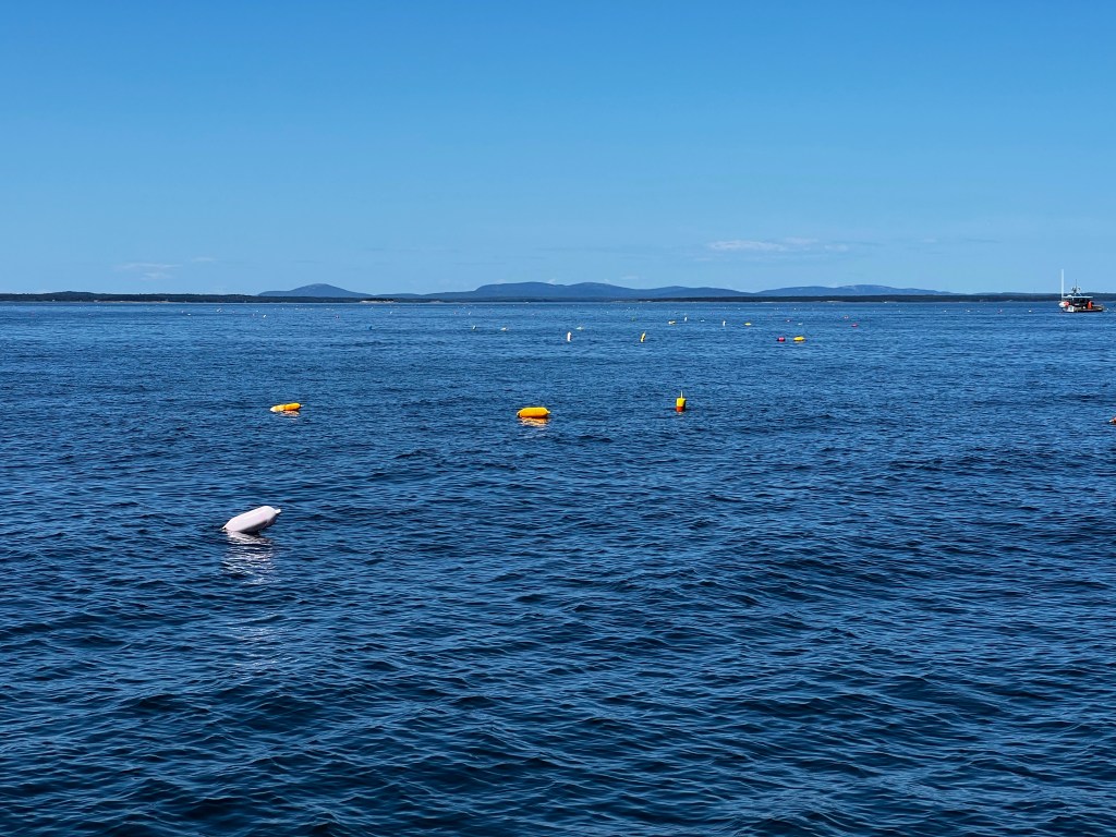
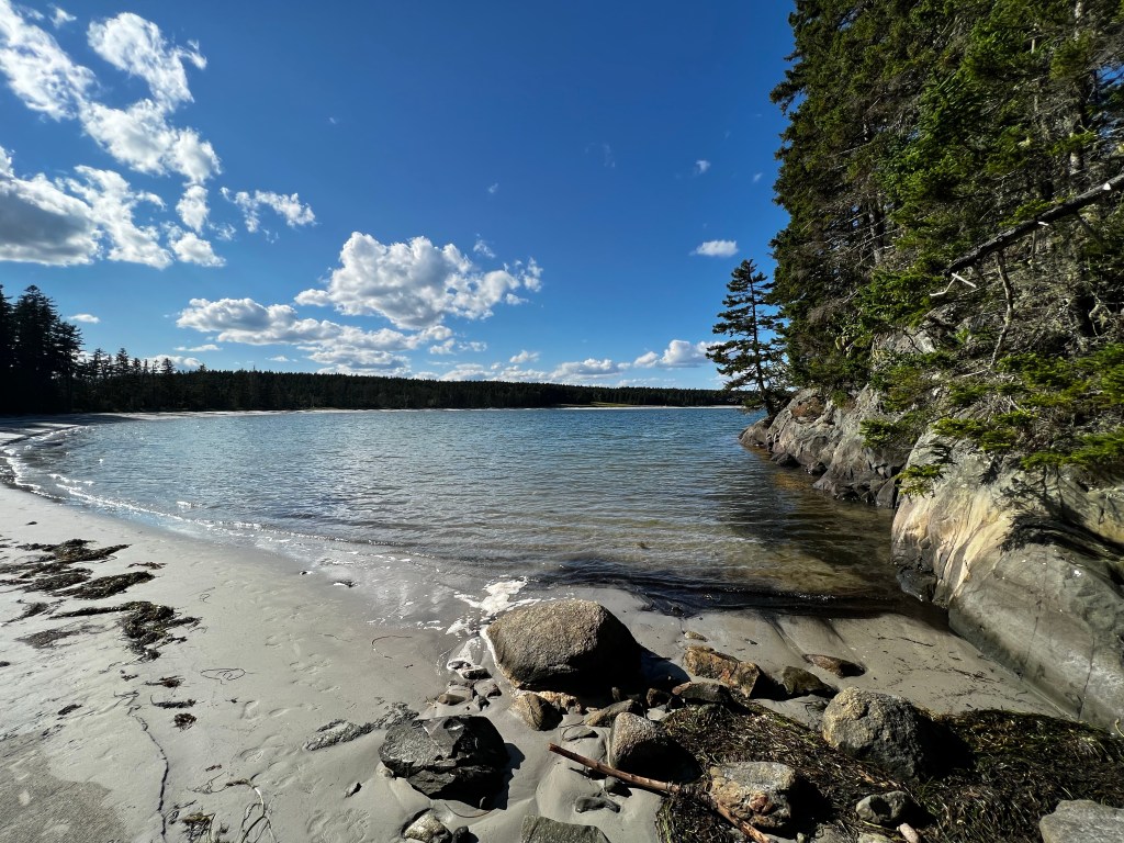
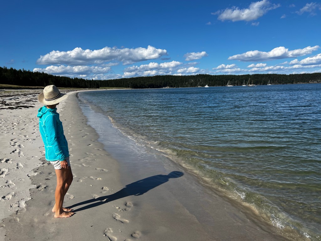
Staring out and pointing and dodging was what we did for the next hour until we finally got safely into the anchorage at Rogue Island Harbor (on the south side of Roque Island) – a stunning crescent shaped white beach greeted us and a bay large enough to hold a hundred boats. It was the perfect time as winds were coming from the north and although we could hear the wind rush over the bay, we were well protected. We rewarded ourselves with a relaxing walk along the beach at the end of a perfect day. Despite all this beauty (even the stars were amazing that night) we fell into bed totally exhausted. Watching for lobster pots and dodging them was a new experience and had tired us out.
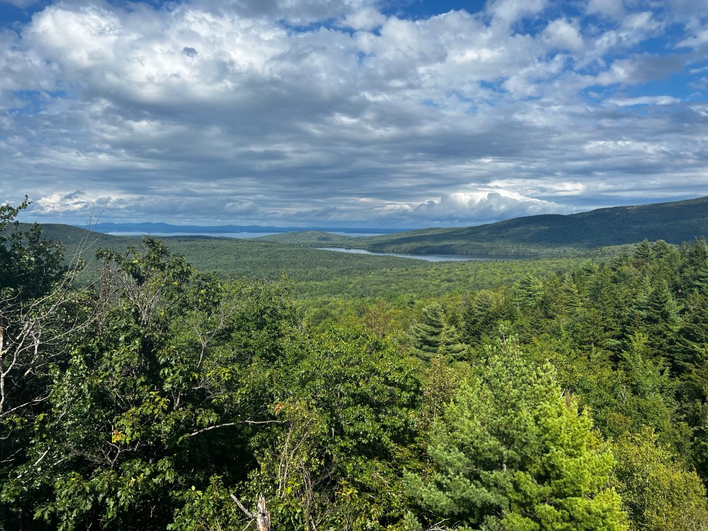
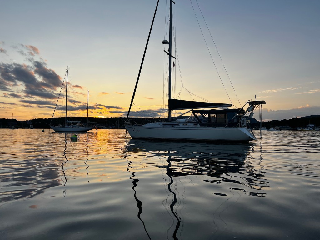
The next day was equally perfect as to the sailing, but just as we thought that maybe we were getting used to and more comfortable with the maneuvering around lobster pots, we learned a new lesson. As we approached the Cranberry Isles from the East, the wind picked up to 20kts in the late afternoon and heading directly into the sun, acerbated by the choppy seas, made me see lobster pots everywhere. Against the sun it was almost impossible to see the difference between a wave and a lobster buoy. We pulled into the anchorage/mooring field at Cranberry Harbor and again were glad we had made it through a mine field. We were now just south of the famous Mount Desert Island (or MDI as it’s referred to here). This large island is home to part of Acadia National Park, with stunning hiking and cycling trails and a free Island shuttle bus to boot. The largest town is Bar Harbor, which offers a great grocery store, resaurants and shops and has a very touristy but fun vibe, like Lake Placid or Annapolis.

We were glad we made the decision to motor up the Somes Sound the next day, and take some extra time to explore this area. The sound is also referred to as a fjard, similar to a fjord, but not quite as deep and pronounced. We followed it right up to the northern end to Somesville were we anchored in the mooring field, which did not leave us a lot of swing room. Having read something on Navionics about a free bus service and a bus stopping at the library just down the road on the western shore, we jumped into the dinghy and tied up at the floating dock. At the library we asked two women, who looked like they might have come off a sailboat, about the bus. This is how we met Chris and Judy, who with their husbands Len and Fred had been sailing the Maine waters for years. For the next hour we learned so much as we chatted while waiting for the bus and then on the ride all the way to Bar Harbor. The busses are sponsored by LLBean and run all around the area, they even have bike racks on the front. We strolled around in Bar Habor checking out some cute shops, stopped at a tourist info to get some maps for Acadia National Park and re-provisioned at the well stocked Hannafords grocery store. Late afternoon we had drinks and great appetizers on SV Vigilant, Fred and Judy’s sailboat together with SV Breakaway’s crew of Chris and Len.

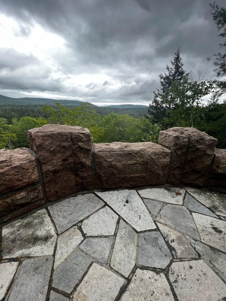
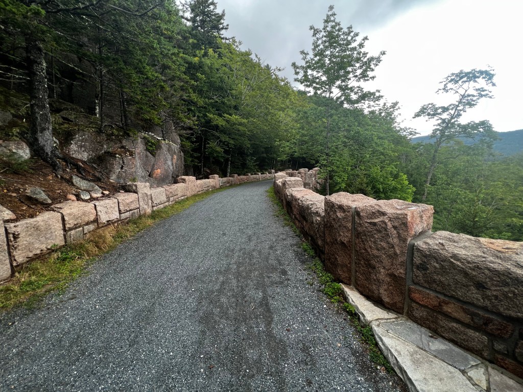
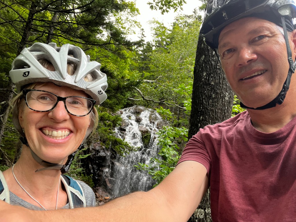
We waited out a nasty weather front for the next day for which we actually tied up to one of the unoccupied mooring balls. No one gave us a hard time about it or came to ask for money and our new friends had been using some of these balls for years on their visits. We did get out on our bikes the day after. This time we used the dinghy dock at the campground on the east side. First we were going to put our bikes on the free bus, but there is a small paved shoulder on the road (ME-198S/ME-3W) south to Parkman Mountain Carriage Road Trailhead. After about a 20min bike ride we entered the Carriage Roads, which are crushed gravel roads only for bikes, horses and hikers. They have a much more gentle incline than modern roads and wind along the mountains of the park, feature stunning stone bridges and beautiful vistas. From 1913-1940 John D. Rockefeller and his family invested into the construction of 45miles of horse friendly roads, to keep automobiles out of the park but make it otherwise accessible. Here’s some more info: https://www.nps.gov/acad/planyourvisit/carriage-roads.htm
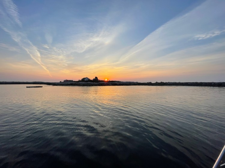
After riding out the high winds and rain, we decided to sail down the Sound and take a mooring ball in Southwest Harbor. We’ve been having a small drip on our raw water pump, when the engine wasn’t running and wanted to see if a mechanic could give us some advice. Southwest Harbor has Hinkley Marine, as well as a number of other marine shops and a small West Marine store. The harbour here although small, a village of less than 2000 people, has tour boats, lobster boats, power and sail boats of all sizes. There’s no anchoring in the harbour as it’s full of mooring balls some of which can be rented. Of course, there are a lot of Hinkley boats both power and sail, but also a lot of friendship sloops.
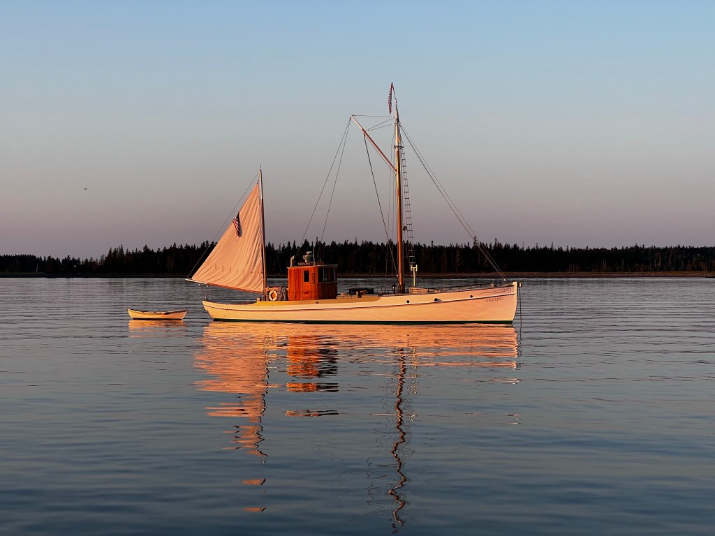
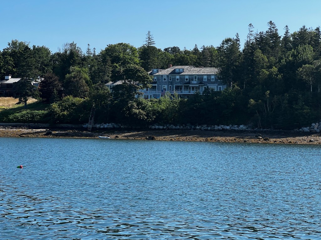
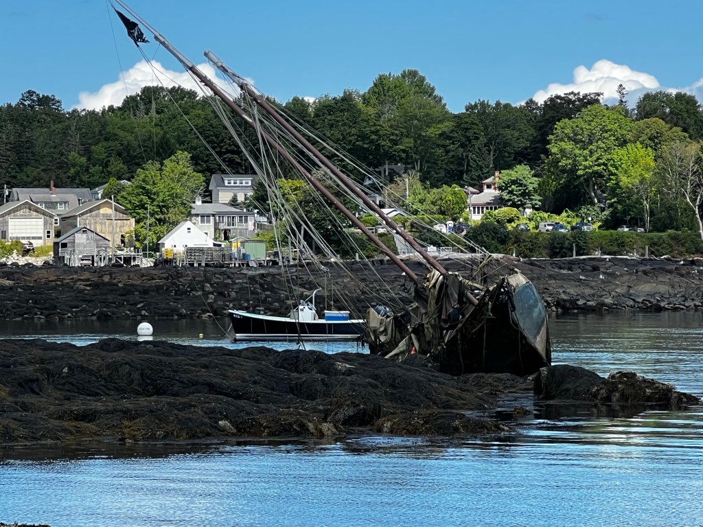
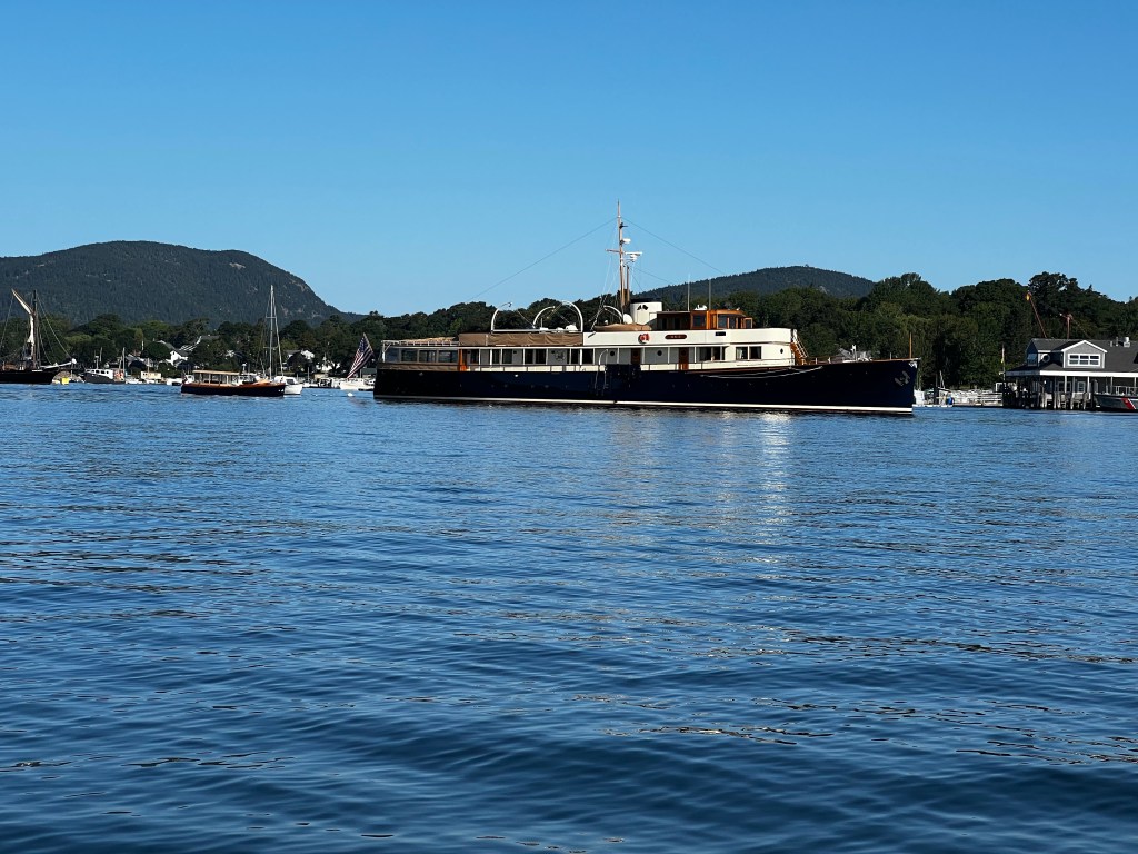
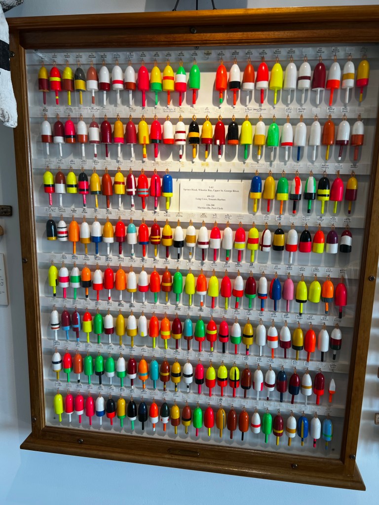
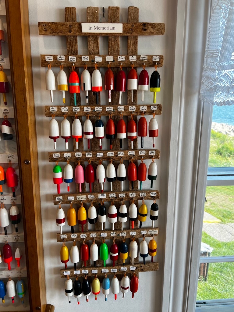
Pictures of Southwest Harbor, ME
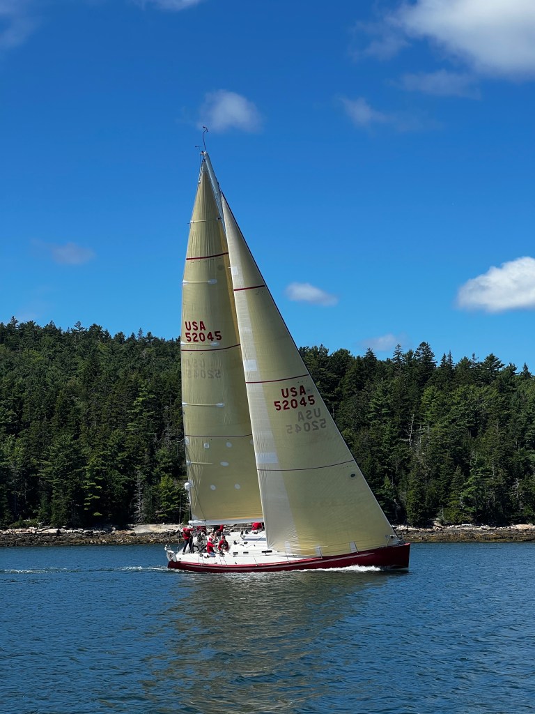
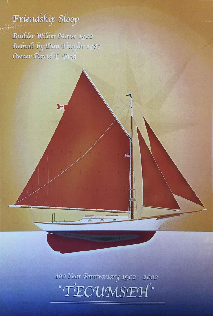
For those who don’t know what a Friendship sloop is. It’s a gaff-rigged working sail boat design that originated in Friendship, Maine around 1880 and has survived as a traditional-style sailboat. In fact, our good friends and dock mates David and Kim, who are the proud owners of the oldest registered sailing vessel in Canada, a beautifully restored friendship sloop named “Tecumseh” from 1902 would probably argue it’s not a design type as we know it at all. These boats evolved from Maine fishermen building boats that could withstand the harsh conditions of the Maine coast and protect their crew while working fishing nets. With a clipper bow, typically full keel, elliptical stern and long bowsprit these vessels are easily recognized. David has written a great article about Tecumseh which explains this all much better than I can.
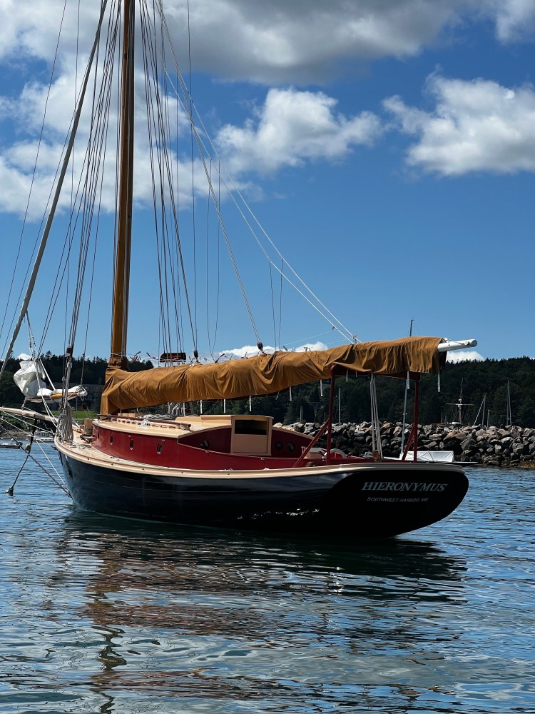
The next thing that happened, I totally blame our friend David for. Kind of following our progress along the coast of Maine, he had sent us a link to an article about Ralph Stanley, a well known boatbuilder from Southwest Harbor. We were intrigued, read the article and also found a very interesting video about his life on YouTube called “Ralph Stanley – An Eye for Wood”. It gave us more of an understanding for the local boat building history which is duly intertwined with the lobster fishing tradition. Among many typical commercial lobster boats, Ralph had also built and restored numerous friendship sloops. The first one was the 33 foot ‘Hieronimus’ built in 1962 for his friend Albert (Albie) Neilson. Both men had just passed away in 2021 in their 90th. Which proofs once again that any day spent on a boat does not count against your total days of life.
Cruising around with the dinghy in Southwest Harbor, weaving through moored lobster boats and the odd friendship sloop, we came by the bow of a particularly pretty dark hulled vessel, definitely a friendship – it kind of looked like the one we had seen in the documentary the previous night. Maybe ‘Hieronymus’? We turned and went to look at the name on the stern. Yes, how rewarding to see her here in real life. We took a few photos and sent a quick note to our friend Dave back home. Little did we know the day was going to get even better.
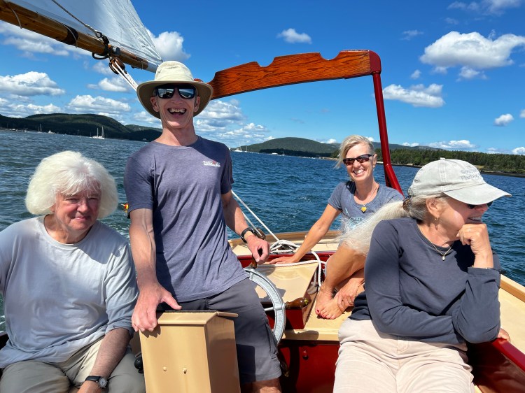
We tooled around trying to find a harbourmaster to pay for our mooring and on our way back passing ‘Hieronymus’ once more, we spotted people on board. Well, we had to say ‘Hi’ and told them we had just watched the documentary about Ralph, Albie and this boat. Next thing we knew they had invited us to come along for a sail as they were just going out and extra hands were always welcome. So we tied our dinghy to theirs on the mooring and off we went. We got lots of interesting facts and stories from Albie’s son Joe, now the owner of a fully restored ‘Hieronymus’ and his illustrious crew Marc and Greg, affectionately known as the Corgi people. In fact, one wonders if Gregs impressive white mane is partially inspired by the dogs. It was a fabulous afternoon sail, we got to help with some lines and even steering and it really made our day. Thank you for a wonderful experience!
Southwest Harbor was a great spot to also get some free water at the Hinkley dock, a pump out for $5 and free laundry to boot. Dave left me to fend with the laundry and took the dinghy to the town dock in order to walk to the grocery store – which apparently is not a short walk. On his way, a car honked, and ignored by Dave at first, honked again. It was the Corgi people. They offered Dave a ride, which he gladly accepted and after shopping the grocery store organized a drop of back at the dock. Perfect.
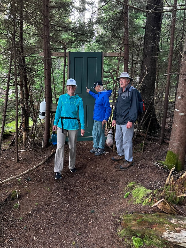
We were ready to head out and explore some more anchorages and hidden gems of Maine. Len and Chris from Breakaway, would be our guides as we had run into them again. Good weather and a lovely sail brought us to Buckle Island west of Swan Island. On Buckle, Chris and Len showed us a cool little hike around the island. There’s a green door in the middle of the path one has to step through and if one watches carefully, there are fairy houses hidden in many spots.


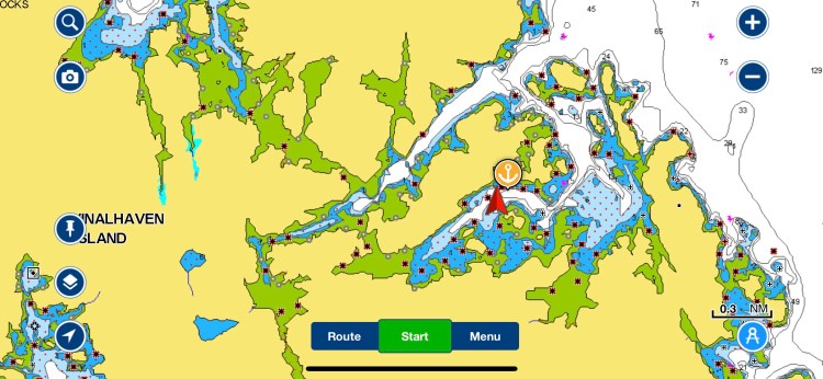
We motor sailed to Vinalhaven Island next, passing through Jericho Bay in the fog, then the Deer Island Thorofare and across East Penobscot Bay, finally entering Inner Seal Bay, a very protected anchorage. After our first week in Maine and after chatting with other local sailors we were finally becoming a little more comfortable with using the little channels and thorofares between the islands. It’s one of the many appeals of the Maine coast – so many places to shelter from ocean swell of which we honestly didn’t experience much along this shore.
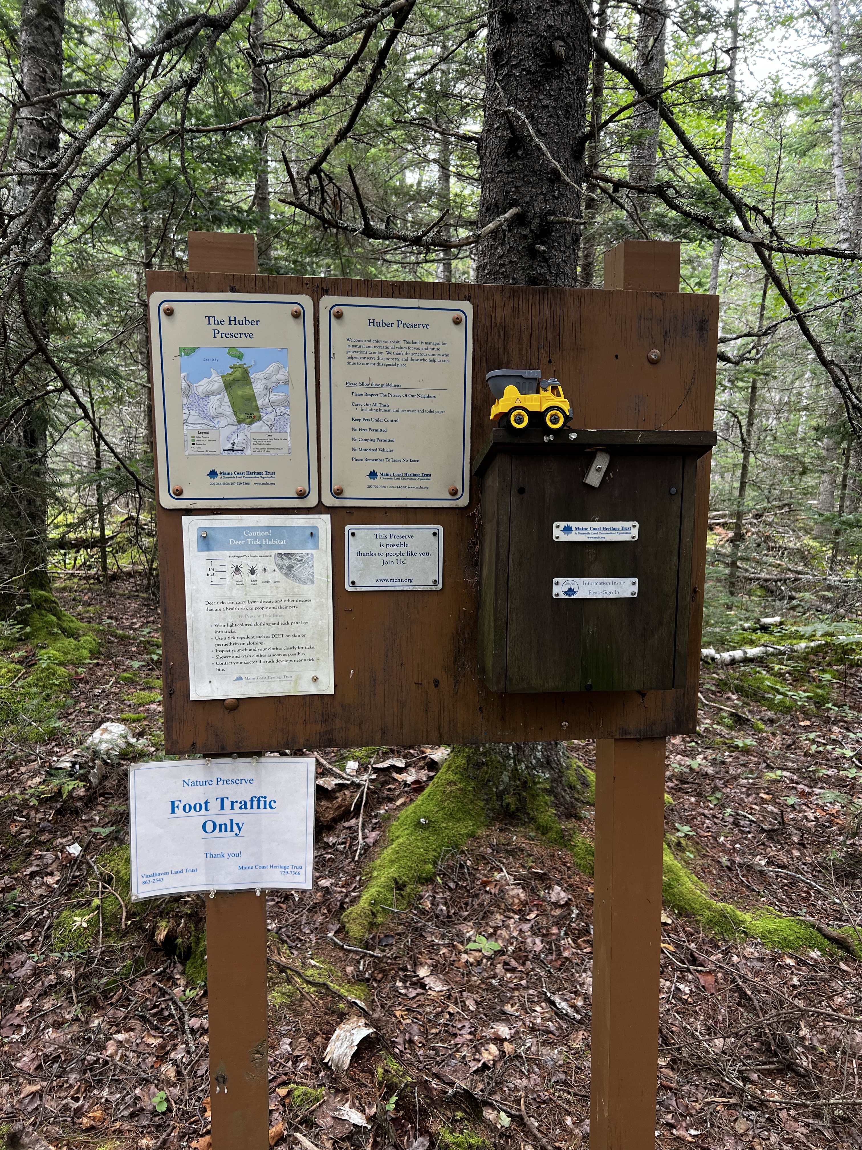
We spent 3 nights in this protected spot with about 10 other boats. Again Len and Chris showed us a hike on Vinalhaven Island, which is part of the Huber Bay Preserve. A nice 1.3mile hike through the woods which we extended to walk the road to the little Mary Talbot Memorial Airport (or air strip), as it’s really just a landing strip on a field.
We spent a rainy, windy day hunkered down re-tightening an engine mount, cleaning up some corrosion on the engine – salt water is a b$%^&! Changed the impeller and greased the impeller shaft as we still had a small drip at times. At night Chris and Len came over for a Green Thai Curry and some fun chats. It stayed gusty for another day while Hurricane Franklin passed by out in the Atlantic and we watched as Idalia crossed over the Pan Handle in Florida. It was at least sunny and not too blustery in our protected bay so we explored by kayak for a few hours in the afternoon.
On Sept. 1 the waves and wind had calmed down some and we followed the inside channel (Fox Island Thorofare and Muscle Ridge channel) into Port Clyde Harbor, a cute fishing town and the most southerly settlement on St. George peninsula. Entering from the south we followed right up through the harbour and the narrows, which are well buoyed. It was high water though, as it might have been a little more tricky at low water with a 5’7″ draft. In the shelter of the northern end of Hupper Island there was definitely less chop from the swell and SW winds although only room for a few boats at anchor. It’s a busy channel with constant boat traffic but does get quiet at night. On shore we explored the Port Clyde General store which seemed a bit overpriced and walked to the Marshall Point Lighthouse and little museum. Apparently, this was the lighthouse to which Tom Hanks ran in the 1994 movie ‘Forrest Gump”.
From here we made our way further west to South Bristol, ME traversing Muscongus Bay, rounding Pemaquid Point Lighthouse into Johns Bay and anchored behind Witch Island, just north of the mooring field. Another little busy fishing harbour, where we stopped at the South Bristol Fishermen’s Coop to buy some fresh fish for dinner. We also swung by the Bittersweet Landing Boatyard on the south side of The Gut to ask the owner Mike if he had any advice on our ongoing drip of the raw water pump. What an interesting guy! He did give us some good advice on where to order parts, but it turned into more than an hour chat, where we shared our love for Lego, yes Lego! He is an avid collector and builder (he even admitted that he was one of those people who buy sets and never build them, just to collect them). He does, however, built huge Lego sculptures for the local Christmas tree each year, like the Grinch or Olaf from Frozen. They are so big that they need to be lifted up by forklift and supported in special ways. He’s also quite passionate about music and David and him exchanged some artists to listen to. I love people who are passionate about whatever they do and love to share it. So glad we stopped and met him.


The next day we we started out by going SW through some smaller channels such as the Thread of Life Passage and then the Fishermen’s Passage. We really enjoyed these protected waterways and beautiful rocky shorelines. Once out in the more open areas Vitae was crashing through larger swells again, slowing us down. It took us almost 8 hours to get the 38NM past Seguin Island and across Casco Bay to Richmond Island (Cape Elizabeth) just south of Portland, Maine. Richmond Island was a really neat place. Not overly protected but it’s a large cresent shaped bay protected by the island to the south and the sand/rock spit that connects it with the mainland. This spit is almost under water at high tide. There’s a bay on the east side as well as on the west side, so choose your side according to the wind or wave direction. It’s definitely rolley but so worth it. Clean sand bottom and a beautiful beach connects to the rock spit on either side. All night you can hear waves crashing on shore. 226 acre Richmond island is privately owned by the Sprague Corporation which allows public access to the beaches and the perimeter trail. The island has only a caretaker who lives there part of the year. There’s a caretaker cottage, a cabin, a potato storage cellar and a boat dock. The trail is well groomed and affords beautiful vistas over a number of secluded rocky coves and beaches and connects to a small area to camp in (note: permission to camp has to be arranged through the corporation, and this area is not part of the perimeter trail). As it was a nice sunny afternoon, we beached our dinghy close to the spit and went for a little 2 mile run to stretch our legs. We had read about the Black Faced Scottish Rams of which there are over 50 that run wild on the island. Luckily, they were not very aggressive and it felt more like we were herding sheep then running, as we were cautious not to cause them too much stress. The run made us warm enough that we even went for a quick dip on the west side of the spit, which had turned into an even larger beach with the receding tide. Honestly, we have not been swimming much so far as the water is so much colder than in the Thousand Islands in the Summer. Here it was close to 18 Celsius and amazingly refreshing. We shared the anchorage with another 10 sailboats and were all gently rocked and rolled to sleep that night.
It was now September 4 and this would be the day we left beautiful Maine behind. An almost windless sunny day, we threw up our main sail regardless but it was mostly a motor sail for about 8 h out to the Isles of Shoales. The northern islands that make up this group belong to Maine while the southern half are part of New Hampshire. We pulled into a very busy mooring field hoping to find one of the free blue PYC mooring balls. There were lots of power boats rafted on balls and everyone was enjoying the sheltered bay and the sunny Labour Day holiday. The Isles of Shoales is a cool place as it’s just a group of rocky, sparse islands 6 miles off the shore of New Hampshire/Maine. It has a large seasonal hotel, some private homes as well as a marine research facility. As we wound our way through all the moored partiers we managed to find one of the blue mooring balls right at the front behind the protective break wall between Cedar and Star Island. This put us in New Hampshire! Hurray, another state covered!


A very small power boat moored in front of us had 4 guys on it who were getting ready to bbq. One of them donned a wet suit and diving tank. Next thing we see bubbles passing by the side of our boat. Jokingly, Dave shouts over to the guys in the other boat: “Hey, can you ask your friend to check out the bottom of our boat when he’s down there?”. Remember, we had just left Maine, the state of 3 Million lobster pots, and it would be nice to know that we had not picked up any unwanted fishing year. 5 minutes later the diver swims over to our boat and Dave askes him to take a look at our anodes. He reports back that, yes, the magnesium anode for fresh water has dissapeared entirely as expected and the zinc for Saltwater is still 60% good, but looks a bit loose. After handing him an Allan key he even tightens it for us. Everything else looks good, he only had to remove a small fishing lure that had gotten stuck behind our rudder. We thanked him and even offered him some money for his troubles but he said he was happy to help. Another example of how helpful the boating community is.
As the afternoon got later more and more of the power boats left and it got quieter. There was a lovely breeze coming across the breakwater in front of us and again, all night we could hear the waves of the Atlantic crashing onto the shore, while we slept like babies.
| Date | Description | Distance | Travel time |
| Aug. 22/23 | Grand Manan to Rogue Harbour anchorage, Maine (USA) | 32.65NM | 7:47h |
| Aug. 23/23 | Rogue Harbour to Cranberry Isles anchorage | 42.46NM | 9:16h |
| Aug. 24/23 | Cranberry Isles to Somerville anchorage | 6.9NM | 1:20h |
| Aug. 25 + 26/23 | Somesville anchorage (mooring ball, free) | ||
| Aug. 27/23 | Somesville anchorage Southwest Harbor town mooring ball | 5.7NM | 2:06h |
| Aug. 28/23 | Southwest Harbor (Hinckley service dock) to Buckle Island Harbor anchorage | 10.9NM | 2:39h |
| Aug. 29/23 | Buckle Island Harbor anchorage to Inner Seal Bay (Vinalhaven Island) | 16.6NM | 3:30h |
| Aug. 30 – 31/23 | stayed in Inner Seal Bay anchorage | ||
| Sept. 1/23 | Inner Seal Bay (Vinalhaven Island) to Port Clyde anchorage | 28.3NM | 5:51h |
| Sept. 2/23 | Port Clyde to South Bristol, Witch Island anchorage | 16.57NM | 4:44h |
| Sept. 3/23 | South Bristol to Richmond Island anchorage (Cape Elizabeth) | 38.54NM | 7:53h |
| Sept. 4/23 | Richmond Island anchorage to Isles of Shoales (New Hampshire); mooring ball (free) | 41.09NM | 8h |
| 14 days | Total | 239.71NM | 53:06h |
| 90 days | Total trip so far | 1761.8NM | 297:12h |

Loved reading this! I will be looking for the next one
LikeLike
Loved reading about your travels in Maine! I will be sharing with Charlotte who was sailing in Oyster Bay, August. Thank you!
LikeLike
We are just a few miles away heading out of Port Washington today and down the east river into NYC
LikeLike