
After our grounding fiasco by Browns Inlet in the ICW and with the windy weather subsiding for a little, we were eager to actually sail and decided to make a jump from Cape Fear/ Southport, North Carolina to Charleston, South Carolina. There we have a quick meet up with our friends Julie and Patrice from Raftan. We explore Charleston with Foggy for a couple days and then move deeper into the ICW again. More shallow waters with muddy shoals, finally Palm trees mixed with Pines, Pelicans, Dolphins and history abound with Spanish Moss covered trees.
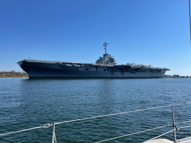
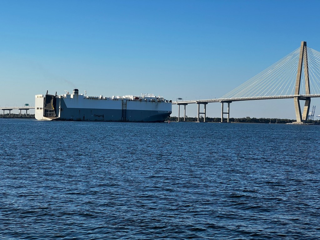
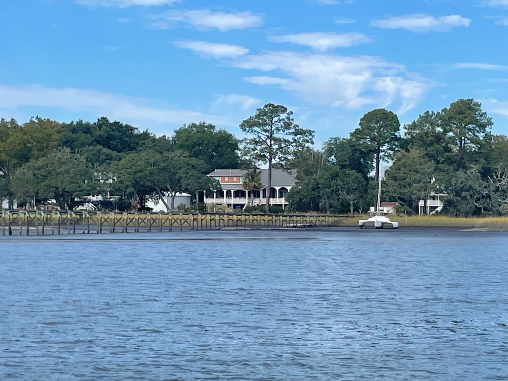
From our anchorage at Orton Pt. we started at first light making use of a favourable ebb current down the Cape Fear River. Once out through the inlet we soon felt the ocean swell and the remnants of waves caused by the stronger winds from the past few days. Hoping the swell would become a little less as we got out into the open water, we set course for Charleston and hoisted the jib. Soon we were making 8kts but the waves weren’t getting any smaller. 3m and confused, the ride became increasingly uncomfortable. So we decided to turn towards shore to see if the seas would be a little more forgiving. To do this we had to go directly into the wind with no sail but once we were only a few miles from shore it did become better. We adjusted to follow the coast for a longer overnight sail to Charleston. The jib gave us enough speed to turn off the motor as we did not want to enter the Charleston harbour in the dark. The plan was now to arrive at the entrance channel at 7am to have enough light. We were able to sail most of the night, just with the jib and had to actually furl it partly to slow down enough to wait for daylight, only to realize that we were off by an hour. This was the night when we were switching back to daylight savings time! The entrance into Charleston is well buoyed and easy to navigate. After 28h we dropped the hook just in front of the USS Yorktown, a permanently moored aircraft carrier, now a museum that has actually silted in and sits on the ground. Quite a backdrop for any anchored boat.
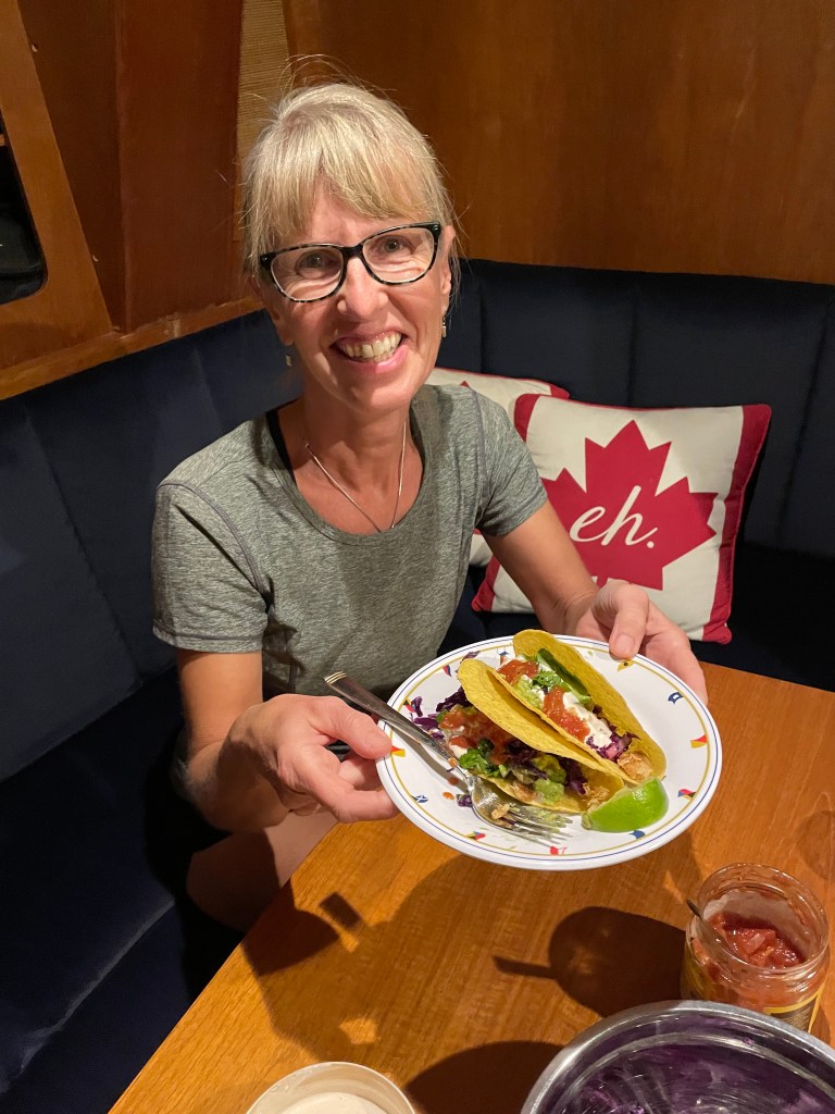
We were happy to see that Raftan was anchored right here as well. They had pulled in late the night before stopping on their passage from Norfolk down to Abacos/Bahamas. Although, they had planned on doing it non-stop, the weather wasn’t quite cooperating so they decided to pull in at Charleston, wait a day and then continue with more favourable conditions. Both Julie and Patrice love to fish and they had landed a large Kingfish or Wahoo while sailing. The fish put up a good fight and all this while the boat was surging at full speed in huge waves. They landed the fish safely in the cockpit but it was almost washed out again by a giant wave that got everyone wet. They managed to secure their big catch and Julie was holding up the iPhone with a YouTube video on how to fillet a kingfish while Patrice was braced in the rocking cockpit holding the fish with one hand and wielding the filet knife in the other. We loved hearing their story while we went for a long walk in Mount Pleasant, the town on the eastern shore across Charleston. They even shared 4 large fillets with us, which we cooked up and made fish tacos to share with our friends on Foggy. In fact, there was so much fish that we had it for 2 nights. The Kingfish was super tasty, tender and there wasn’t a bone in it. Well done, Julie and Patrice, and Thank You for sharing!
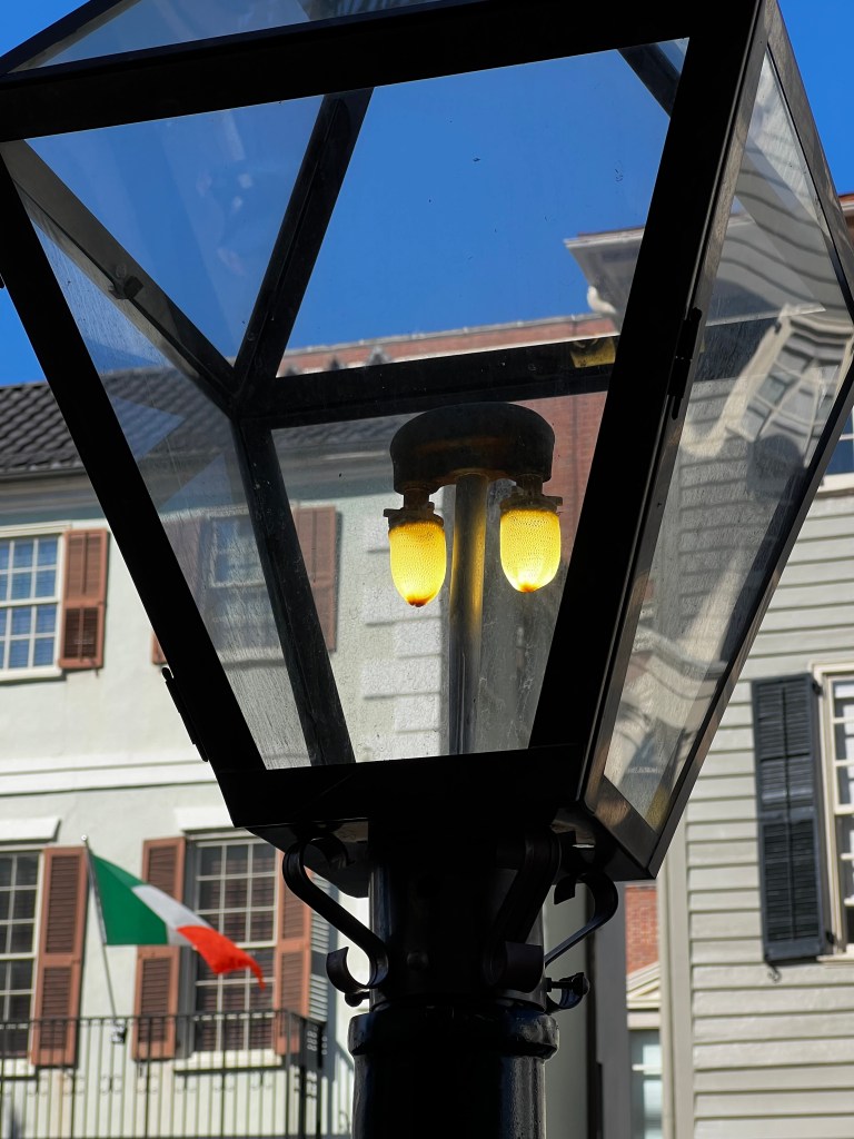
During the 3 days we spent exploring Charleston, we had time to walk the French Quarter with its quaint old cobble streets and historic houses. The downtown area is all lit with actual gas street lights as in the old days. They were even on during the daytime.
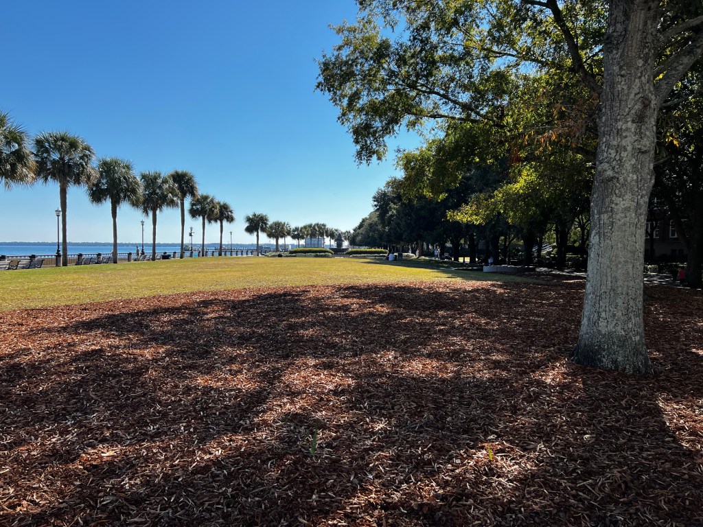
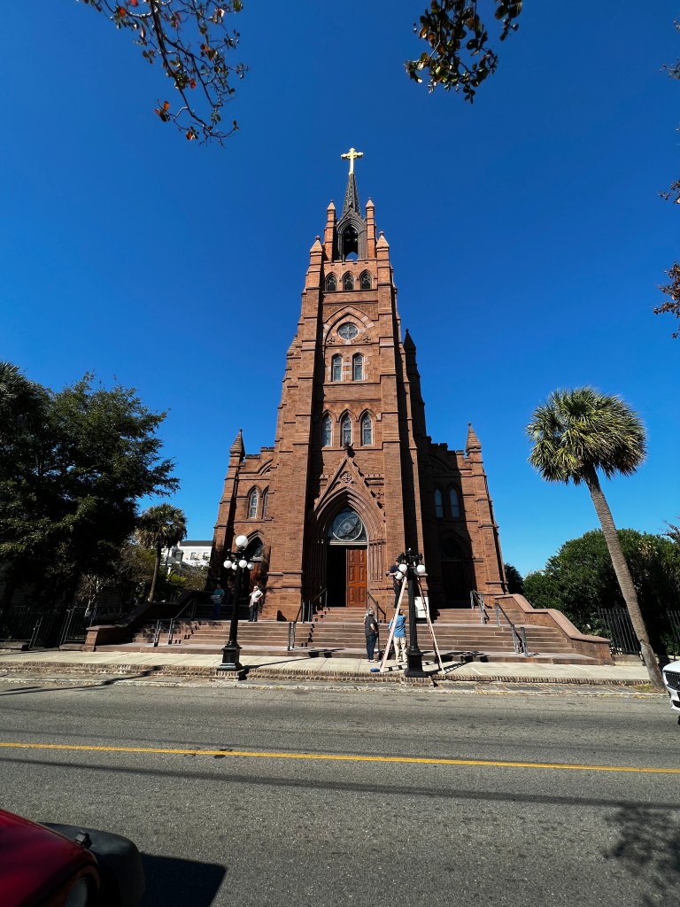
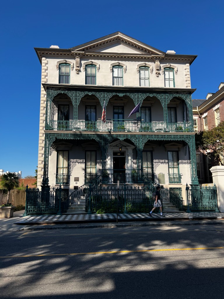
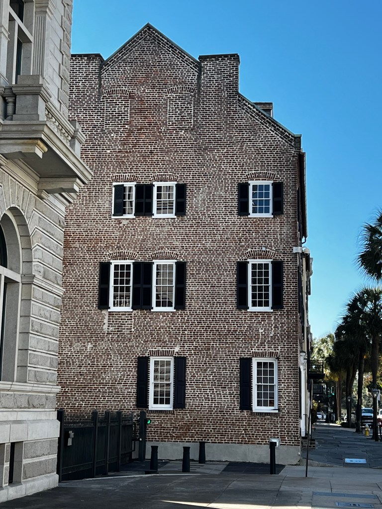

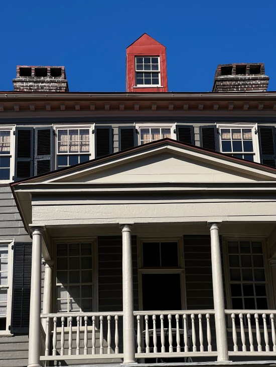
It’s a charming city with many quaint restaurants and pubs, museums and shops. The historic buildings are like eye candy and we regretted not having more time to explore. Unfortunately, when you are travelling on a boat and you get to a bigger town, you want to explore but you also have to take advantage of better grocery stores to provision, which takes time on foot carrying everything back to your boat. In Charleston, we also had the opportunity to bring the boat to the Charleston Maritime Center for fuel, pump out and water. They even let us spray down the boat a bit for a wash. We used their dinghy dock for a charge of $10 per day. It was close to downtown and a grocery store and cheaper than the Charleston Harbor Marina on the Mount Pleasant side. Their steeper price did include showers and laundry and access to all their facilities for the day and I believe there was a serious discount if you purchased a meal or bought something at their store.
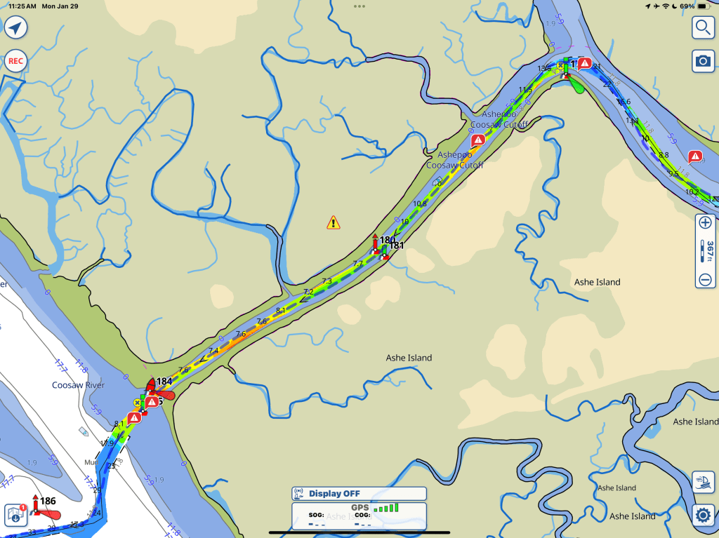
After Charleston, we would have to go through more rivers, connecting cuts and sounds that were notorious for shoaling. We would have to time our departures each day so we would be going through the most shallow areas close to high tide to have safe depth. The difficulty of calculating travel time was compounded by the changing currents which could speed you up or slow you down considerably. Currents would change as you crossed one of the inlets from the ocean or entering a river. Luckily, there were many anchoring opportunities so if our plans didn’t work out we had options to stop or continue further before dark. Here is a copy of the Aqua Maps chart section from Charleston to Beaufort, SC (that’s pronounced Buefort, unlike the city with the same name in North Carolina).
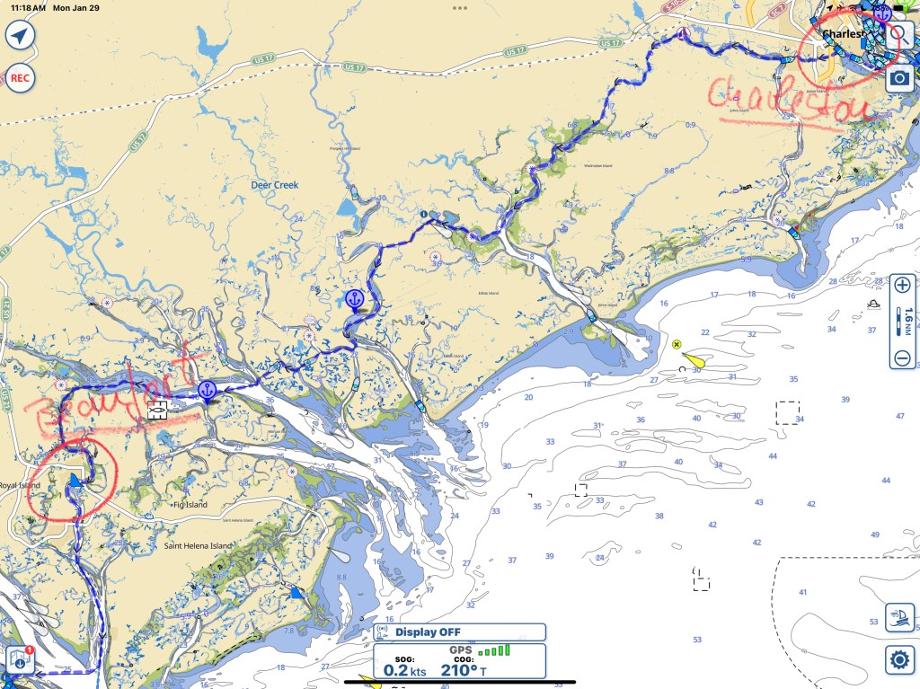
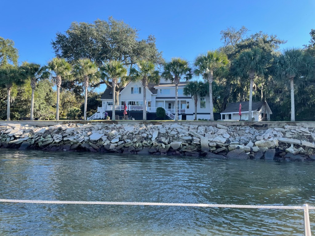
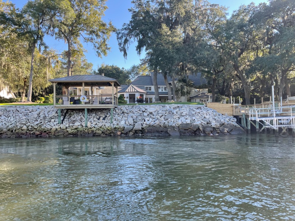
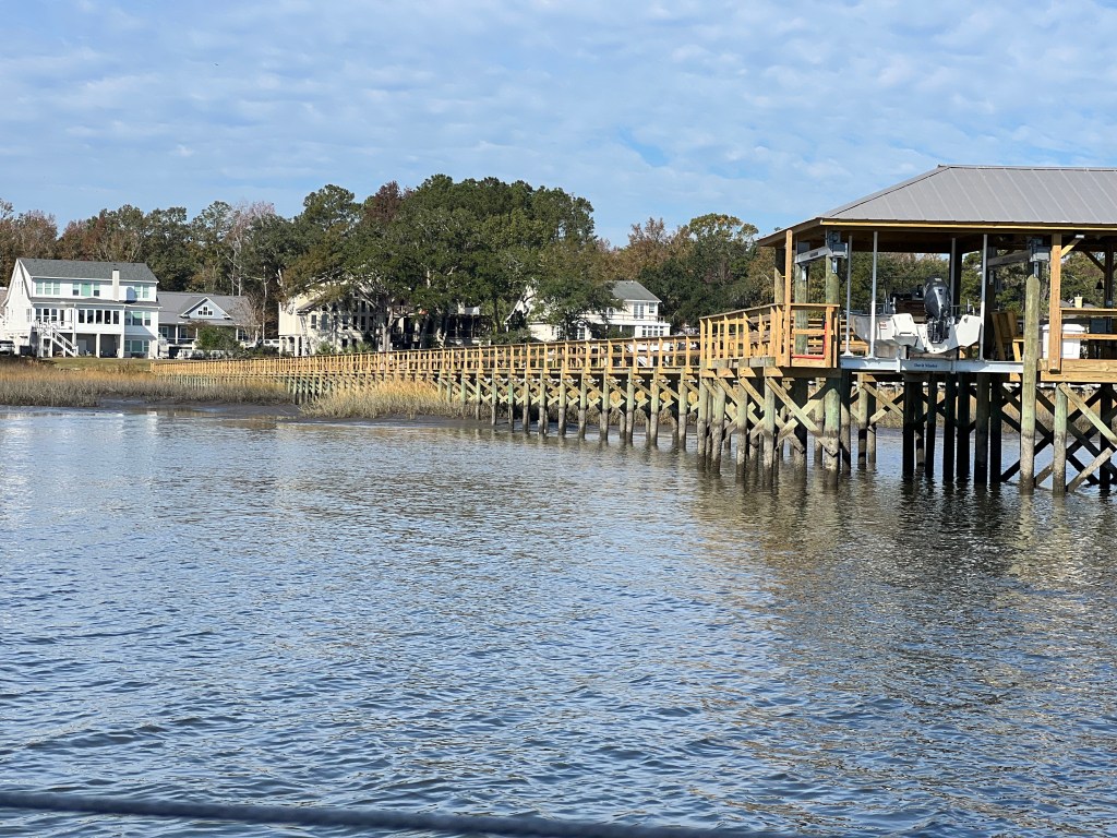
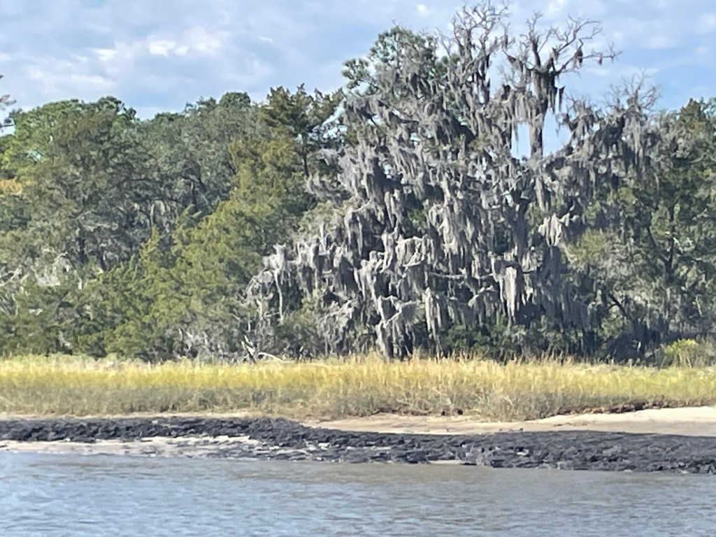
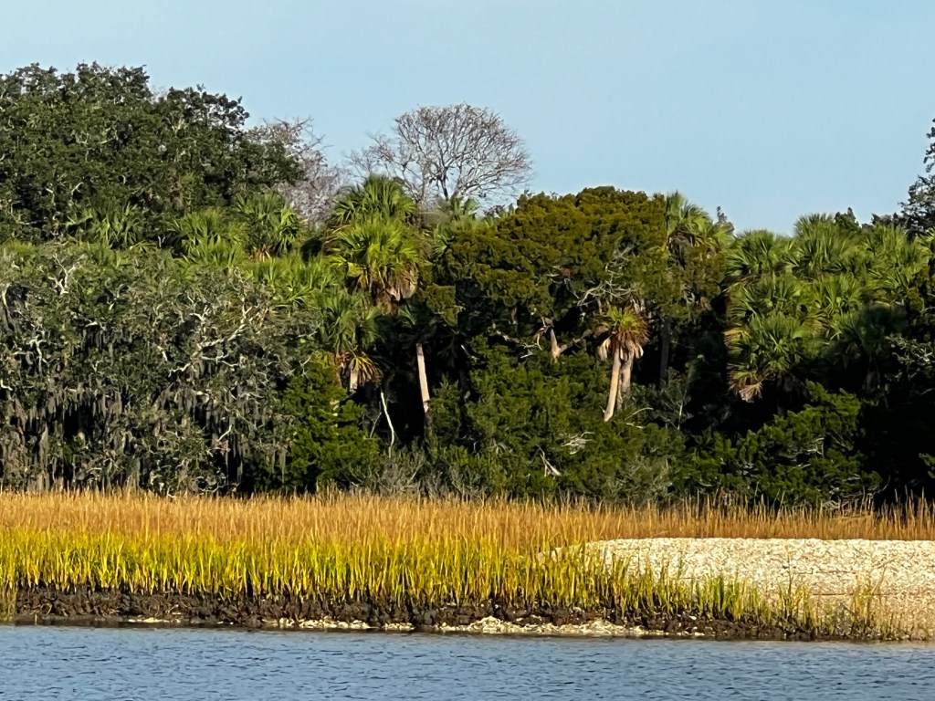
This stretch took us 4 days as we were super careful through the shallow sections, but we made it through with no issues, although they were nail biters – we did not want to have to call SeaTow again! We did stay in some very quiet anchorages along the way – some with lots of current. We also finally saw more and more Palm Trees, there were dolphins and pelicans swimming along. Sorry, I get so excited when I see them that I never remember to get some good pictures! We also saw some of the longest docks, we had ever seen, built on posts way out into the water or mud, when the water is low. Yes – there’s still a substantial tide in the ICW of up to 6 feet.
When we finally went under the last swing bridge and pulled into the anchorage at Beaufort, SC, we were thrilled to meet up with Laloup. We had met Yannick and Dominique way back in Batiscan, QC on the St. Lawrence River, on their lovely cutter rigged Bayfield. They are such a sweet, fun couple and we finally got a chance to have them over for drinks. We had been conversing via messenger, tracking each others progress and getting info about anchorages and shallow areas to watch out for. They were going to spend a little time in Beaufort to do some engine work – which actually meant Yannick was going to lift the engine out at a marina dock and do all the work himself. He is very handy – and we heard a week later that all had gone well and they were back on their way.
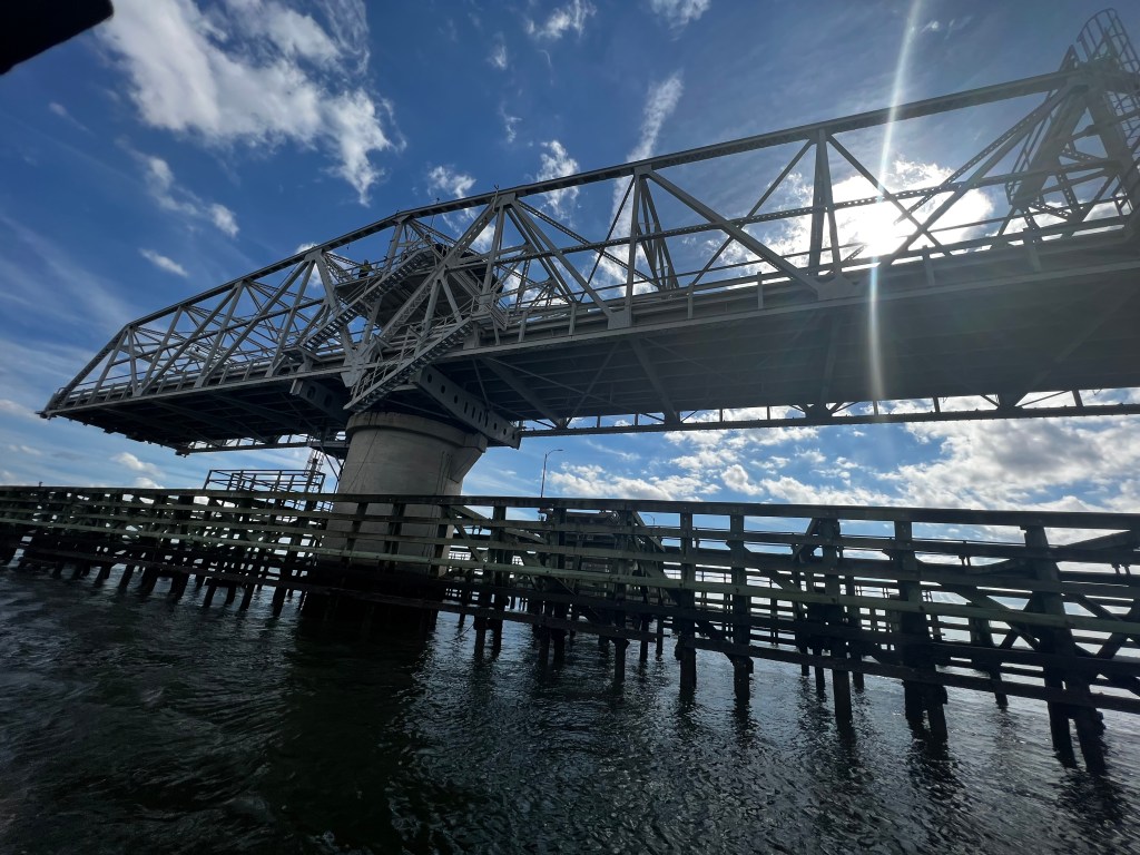
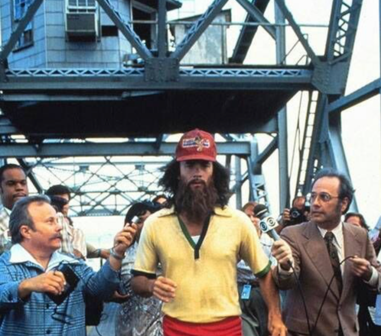
We really enjoyed our short stay in Beaufort – it’s a small, touristy town with a very laid back charm, not as busy as Charleston. We had free access to a dinghy dock and the waterfront had a nice vibe with trails, benches and pubs. Not to mention a great ice cream shop. To make up for the indulgence and to tie this post back to it’s title, we did a run across the iconic Beaufort Memorial swing bridge (also called the Woods Memorial Bridge) we had passed under on our way in. Remember, when Forrest Gump (played by Tom Hanks) runs and runs, well, this was where they filmed that bridge scene.
| Date | Description | Distance | Travel time |
| Nov. 4 to 5/23 | Cape Fear River (Orton Point anchorage) to Charleston, South Carolina (USS Yorktown anchorage) | 141.76NM | 28:01h |
| Nov. 6+7/23 | stayed in Charleston | ||
| Nov. 8/23 | Charleston to Buzzards Roost Point anchorage (Stono River); 2 bridges (one opening) | 7.4NM | 2:17h |
| Nov. 9/23 | Buzzards Roost Point to Racoon Island anchorage (South Edisto River); 2 bridges 65′ high | 30NM | 6:30h |
| Nov. 10/23 | South Edisto River to Beaufort/SC (anchorage by mooring field); 1 bridge opening | 22.2NM | 5:35h |
| Nov. 11/23 | Beaufort to Bull Creek anchorage (Cooper River); 2 bridges 65′ | 23.27NM | 4:20h |
| 8 days | Total | 224.63NM | 46:43h |
| 158 | Total trip so far | 3015.35NM | 595:05h |
