As Hurricane Lee passes to the North of us we hunker down in a protected mooring basin in historic Old Saybrook, CT, where we finally get to hang out with our good friends and canoeing buddies from University days. We also have some great nights at some very interesting Island anchorages and spend my birthday in the ugliest anchorage ever, but it has other charms!
After our night at Cuttyhunk Island we were eager to sail further south west. We were still in Massachusetts and not yet in the protection of the Long Island Sound, which is a tidal estuary of the Atlantic Ocean stretching 180km from the East River in New York City to Block Island. It is 34km at its widest point and bordered by the shores of Connecticut to the North and Long Island in New York to the South. We wanted to be in the Sound before Hurricane Lee was passing by on the Atlantic.

So we left Cuttyhunk by 7:30 am in the fog. No wind meant we started out by motoring but the current was soon pushing us along. Once the fog dissipated we had 10kts of wind but unfortunately from the South and not at an angle we could point to easily. Our speed kept dropping and we were only making 3 to 4kts an hour. After 10 hours we decided to call it a day and anchored at Fisher’s Island East Harbor. We tucked into a little cresent shaped bay with a golf course, sheltered from the South and East. Only one other sailboat stayed overnight and we enjoyed a beautiful sunset. Fisher’s Island belongs to the State of New York and marks the east end of the Long Island Sound. It’s only 14km long and about 1.6km wide and really does not offer a lot of protection in storms. In fact, a hurricane in 1815 had destroyed nearly all the trees on the island when a 17 foot storm surge washed over the entire thing. On the east end where we were anchored we could hear the surge of the Atlantic on the other side of the island.

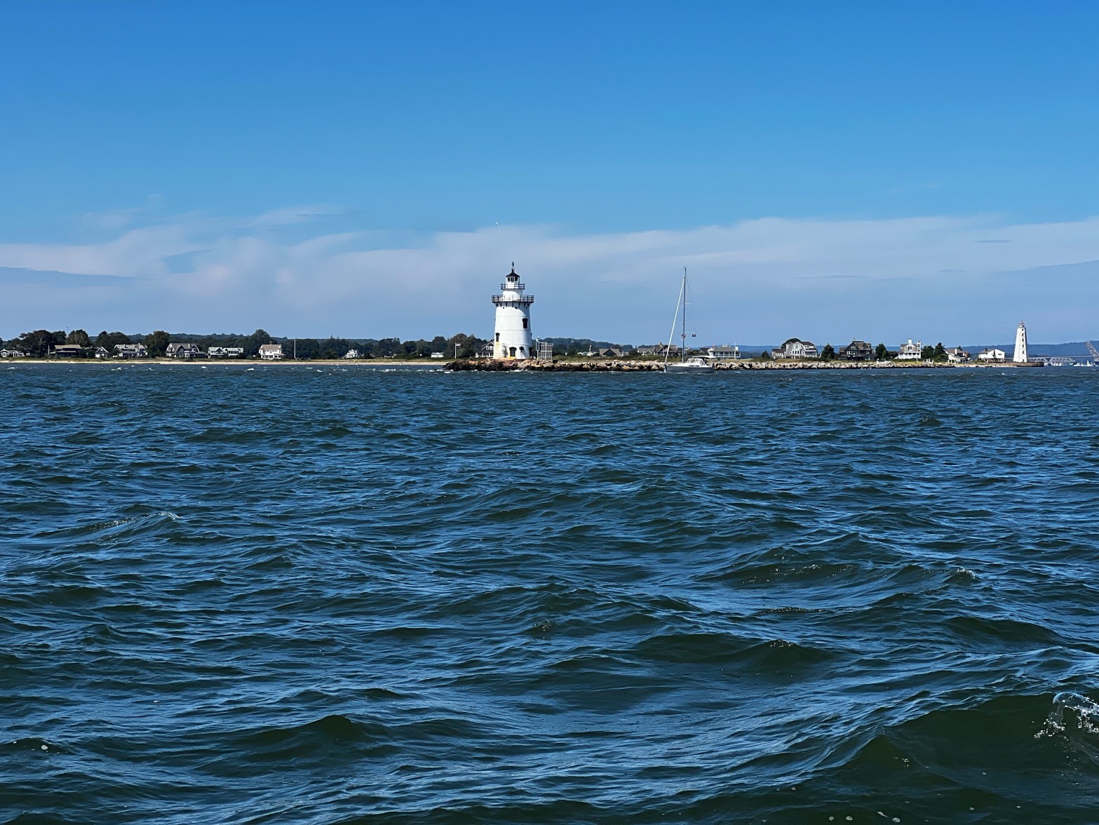
There are some strong currents in the Long Island Sound, especially around Race Rock Light and Reef, just south west of Fishers Island. Although we were not entering the Long Island Sound from the Atlantic, we could feel the current increase the next morning on our way past this light house. We motored with the jib and were moving along quiet well. Our destination was the Connecticut River. Here we had scoped out a protected basin on the west side up the river in Old Saybrook. It offered free town moorings for 3 days, and should Lee change his mind and turn more into the Long Island sound, we had options to go a long way up the Connecticut river to find shelter. Also, our university friends Paul and Karen lived about a half hour away and would be able to visit us.
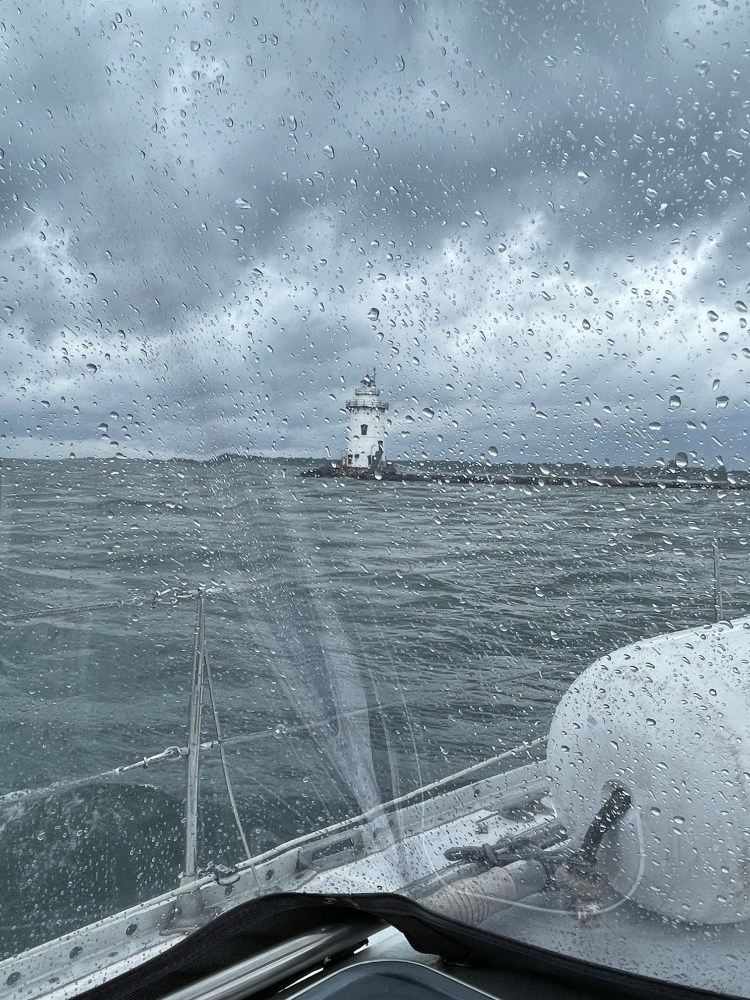
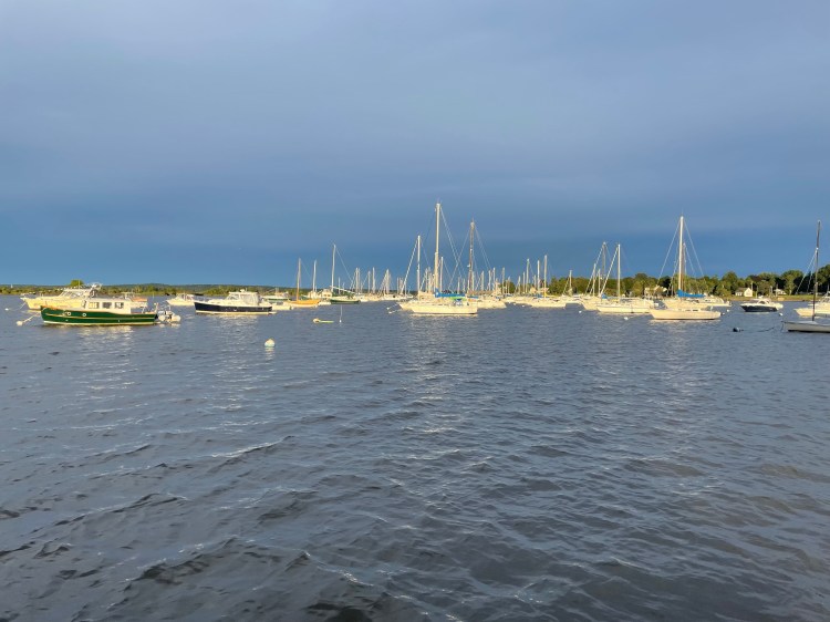
Approaching the entry to Old Saybrook, the sky turned darker and darker. We had the sail furled in and then a squall hit just as we entered the mouth of the river. It was hard to make out the narrow entry past the break wall. AIS showed that another boat was about the exit so we slowed up to let them come out before we entered. Once inside the break wall the waves calmed substantially and the squall died down. We saw some very ritzy big power yachts going by the Saybrook Point Marina and then we turned to port and into North Cove. Navionics showed that the cove was really too shallow for us except the dredged out mooring basin in the middle. There were 4 or 5 rows of at least 10 boats moored. We slowly went through the middle of it looking for a free ball with a yellow ribbon as those were supposedly open and free. We couldn’t find one but were able to grab an empty mooring on the south side amongst some smaller boats. At least this was a temporary stop until we could figure out the lay of the land. We hopped in the dinghy and explored the west shore, stopping at the North Cove Yacht club (where we saw no-one) and then the town dock. Here we learned from a sign at the town dock that the 3 closest mooring balls belonged to the city and were free for 3 days. That’s what we were looking for, but how shallow was the water here, and there was still a 3′-4′ tide.
On our way back to our boat we stopped at one of the town moorings to talk to the crew of Terrapin, Mike, Debbie and their son Nicolas, plus their 2 cats. They built Terrapin themselves, and it’s a Chinese Junk style rigging. Here’s a boat tour of Terrapin. It took them 9 years to fully build it.

Mike assured us that he had seen about 9′ of depth around the mooring next to him, even at low tide. So we moved Vitae and this was our spot for the next 3 days. It’s always a bit nerve racking when you trust your home to a mooring, as you don’t know how well it’s maintained. But the town of Old Saybrook it pretty stringent at inspecting them every year. And we had no issues with depth or holding while Lee moved by. We only got some gusts up to 20kts and by early Saturday morning the winds were already getting lighter.
Old Saybrook is definitely worth a stop. The little town is very proud to have been the summer home of famous actress Katherine Hepburn, whose family’s cottage was washed away by a hurricane in 1938. As the story goes, she and her mother and brother barely escaped to higher ground before they watched their cottage be engulfed and carried away by the rushing storm surge. The Hepburns rebuilt the home on an even grander scale after and it has been for sale numerous times. In honour of Katherine Hepburn I made Dave sit through her classic movie “African Queen” with Humphrey Bogart, hoping we would never have to drag our boat through shallow, alligator invested water as Rose and Charlie had to.
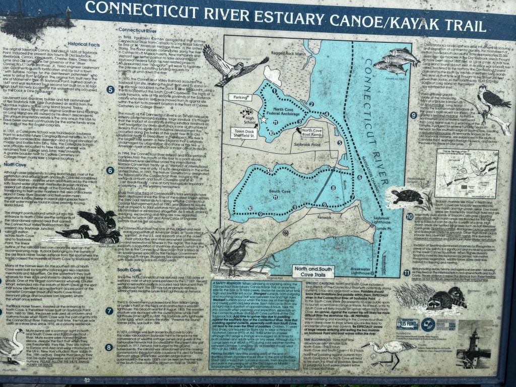
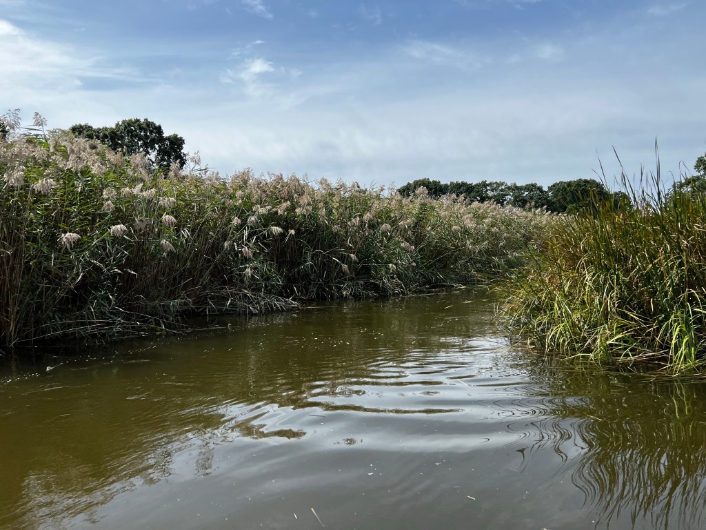
We really enjoyed going for runs along the town streets, shopping at Walt’s Food Market on Main St. or taking the dinghy up into the reedy shoreline along the north part of the bay. The photo of the sign below shows this area as the Connecticut River Estuary Canoe/Kayak Trail. The star marks the town dock at Sheffield St. where we were anchored. Provisioning was relatively easy walking to a Stop & Shop Grocery Store and a Wine and Liquor store.

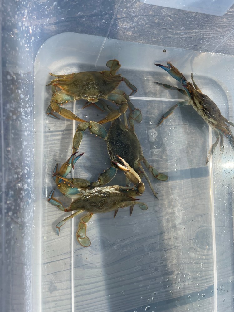
The town dock was available for dinghies and we watched many locals fish for blue crab here. One just has to tie an old chicken leg to a string, dangle it off the dock and pull it up a few minutes later with a crab hanging on. You are only supposed to keep the bigger ones and there are 2 nails on the dock that you can use to measure the size of the crab.
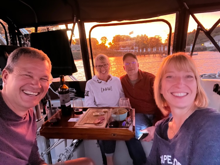
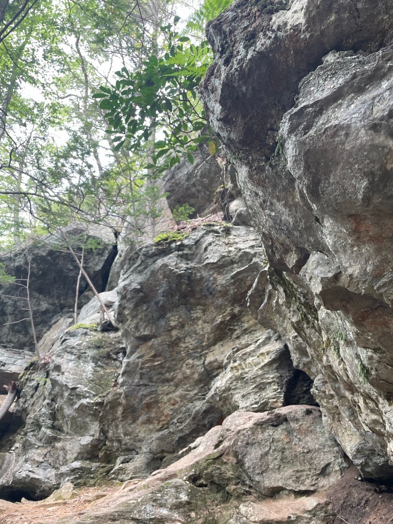
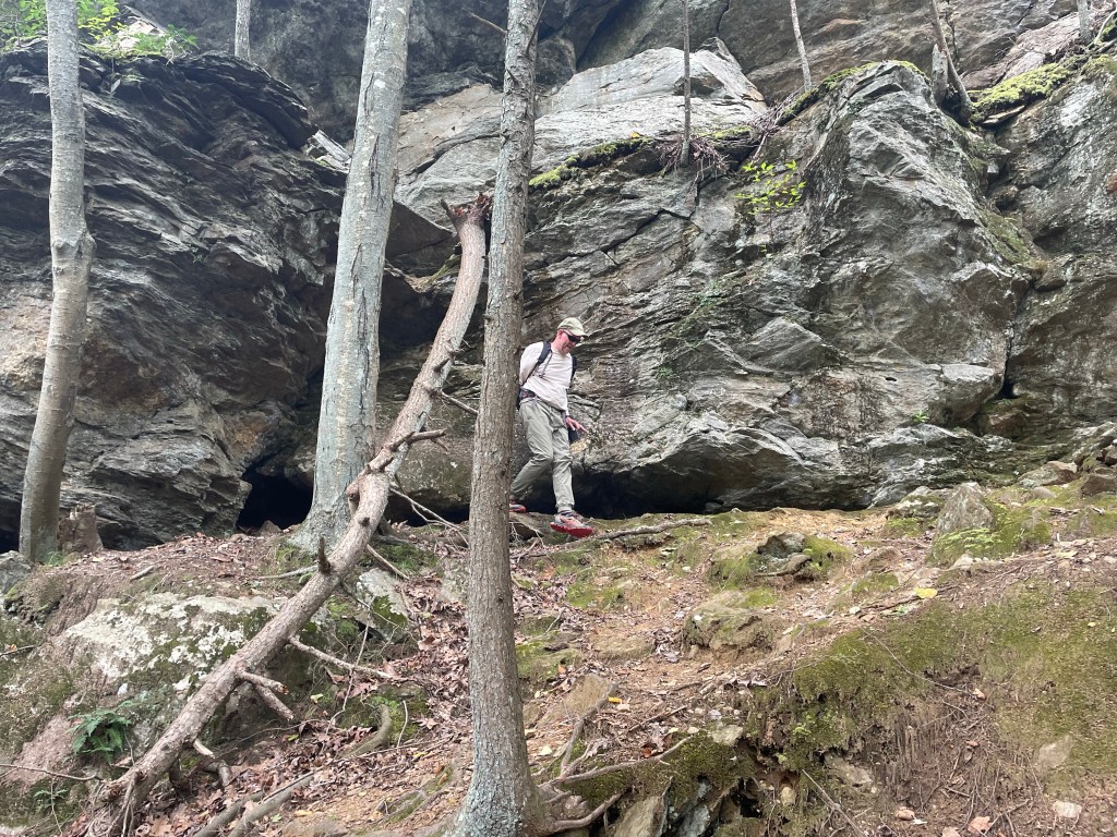
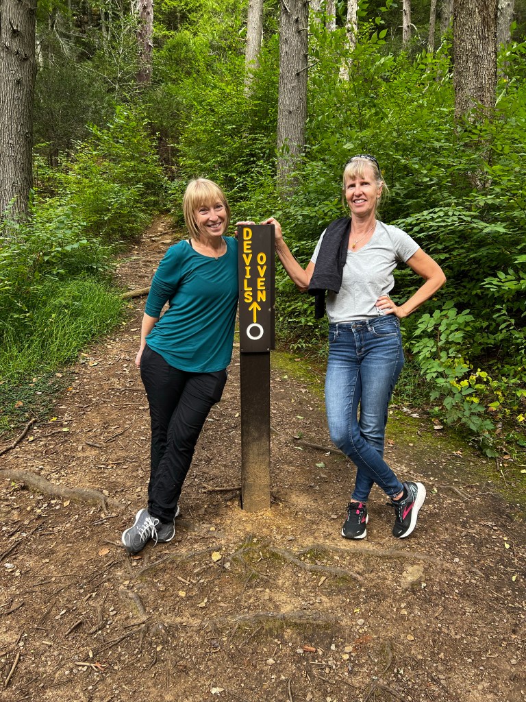
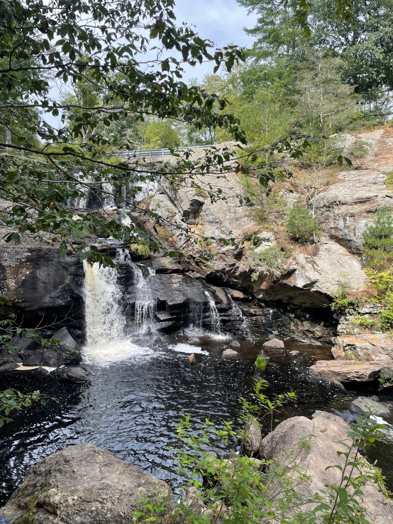
It was great having our friends Paul and Karen join us on the boat for dinner the first night and then being able to go for a hike at the Devil’s Hopyard State Park, which was a little further inland. Their son Ben, all grown-up now joined us as well. We hadn’t been in a car in a while, so even the drive there was a highlight. We ended up at their house in Colchester after and at a little local pizza dig for dinner. Of course we enjoyed way too much great Connecticut pizza. What a fun visit, but way too short!
The hurricane had moved on and it was time for us to travel on as well. On the last day, timing the high tide, we followed Terrapin and tied our boat to the large outer town dock to fill up our water tanks and then we said Good Bye to Debbie, Mike and Nicolas who turned east for a visit with friends in Maine. We turned west to follow the Long Island Sound down to New York City.
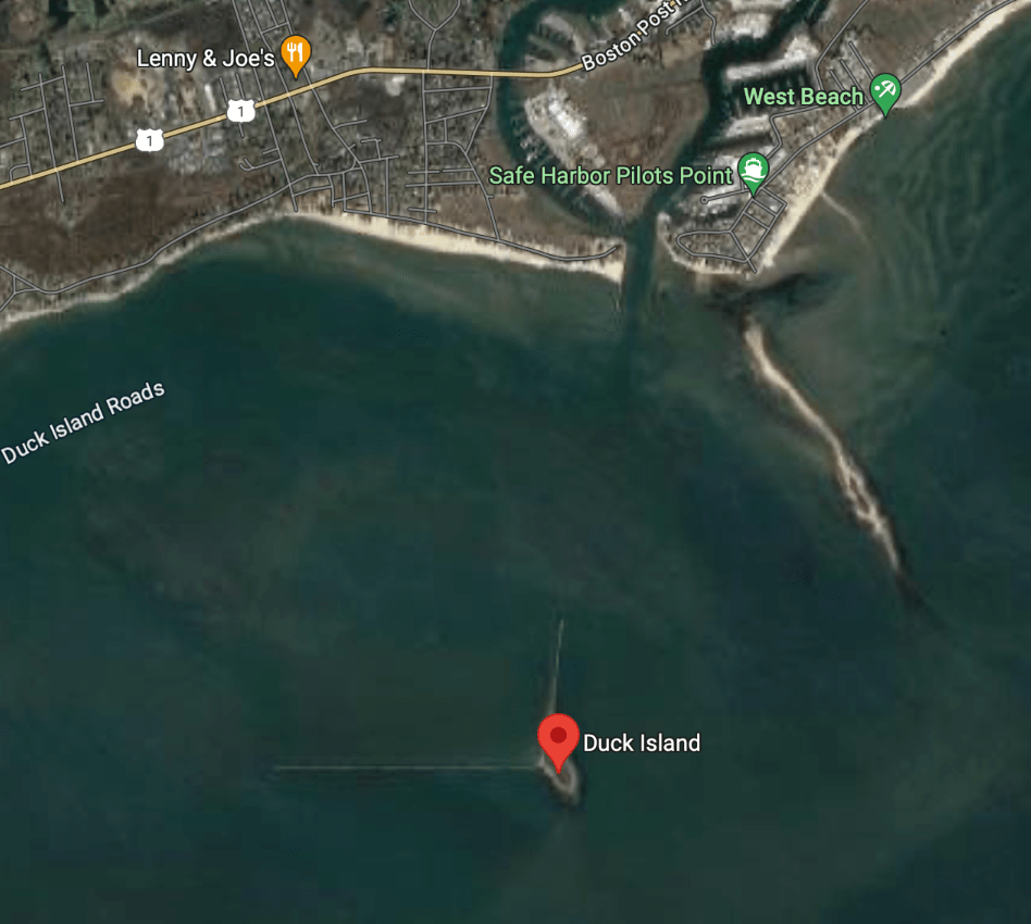
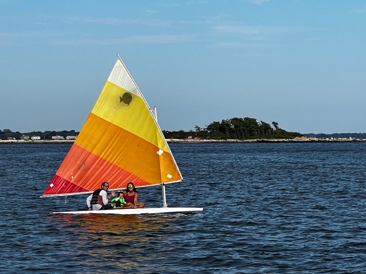
It was already early afternoon and we did not end up going far as we were heading into the wind and current. We stopped at Duck Island by Westbrook. It’s a most unique anchorage as the small island sits to the left of the entrance to Westbrook harbour. It makes up part of the break wall that protects the harbour entrance and has another break wall on its west end which runs perpendicular to the first one. The island is an important bird sanctuary especially for snowy egrets and creates a relatively sheltered bay in front of the harbor. There were numerous little boats anchored in its shallow waters on this warm sunny afternoon. Most of which left as the sun set. It was a little rolley but a convenient stop and we took the dinghy briefly into the town dock at Westbrook to get rid of our garbage.
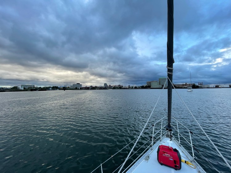
The next morning greeted us with a rain squall. So we waited it out and left about 9 am. Our Gananoque Dock mates from home had suggested we visit the Thimble Islands, an archipelago of small islands formed of red granite with beautiful homes. I had seen them in a tourist magazine Karen had given me. They looked just like the 1000 Islands near Kingston and Gananoque. I had hoped for a beautiful couple of days stop here for my birthday. But when we got to the islands the weather had gotten worse. Rain pelted down and the wind was howling from the east with the forecast of more strong winds over night switching to the NW. We pulled into one of the anchorages, but it felt too exposed from any direction. Better to move on and find something a bit more sheltered. So we continued onto New Haven, a large inlet with an industrial harbour, a huge bridge at its north end and a major highway following its shoreline. I set the anchor and my olfactory senses were immediately accosted by the acrid smell of refineries.
Oh well, it was raining anyways, so we shut down the engine and went below deck.
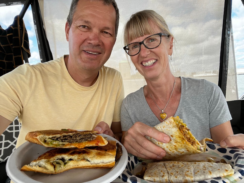
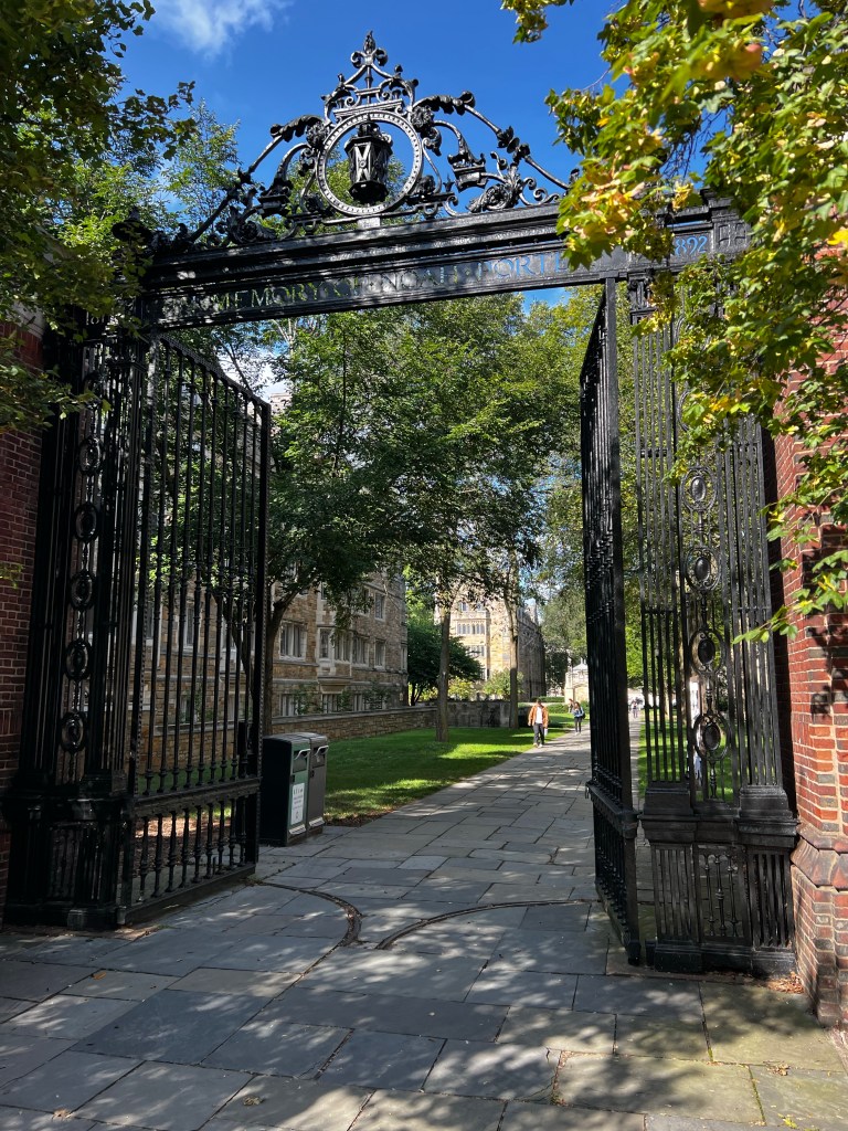
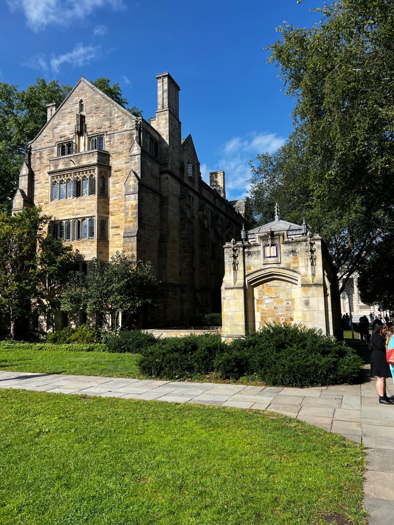
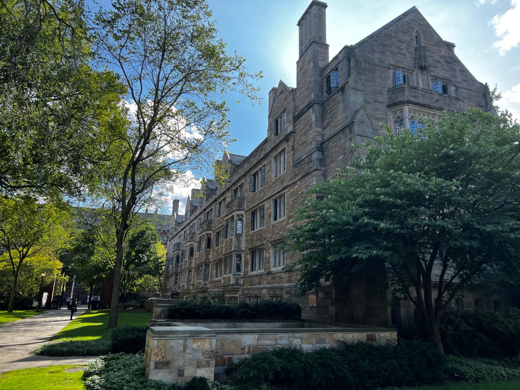
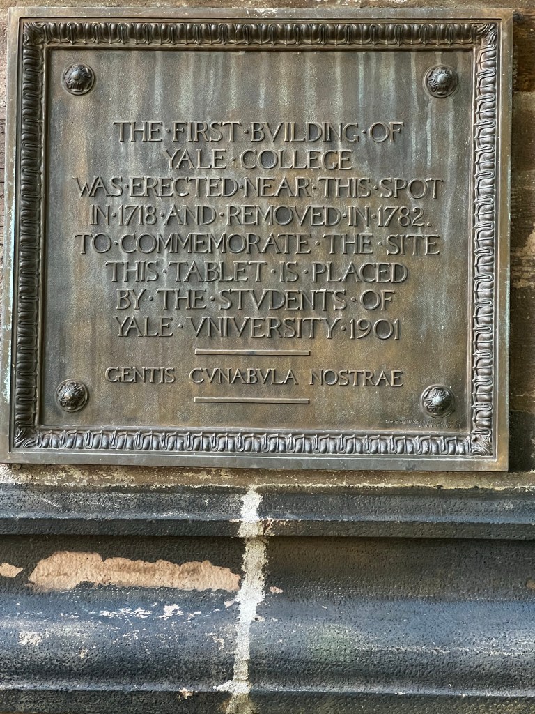
We checked out the area on google maps, to see if this town had to offer something to explore. Well, wouldn’t you know it, it had an Ikea very close by, a mile of Mexican food trucks also along the shore and of course, Yale University. My birthday was planned!

| Date | Description | Distance | Travel time |
| Sept. 12/23 | Cuttyhunk Island to Fisher’s Island, NY (East harbor anchorage) | 48.9NM | 10:28h |
| Sept. 13/23 | Fishers Island to Old Saybrook, CT (North Cove free town mooring) | 21.13NM | 4:56h |
| Sept. 14 to 16/23 | Old Saybrook, CT (North Cove mooring) | | |
| Sept. 17/23 | Old Saybrook to Duck Island anchorage, Westbrook, CT | 9NM | 2:45h |
| Sept. 18/23 | Duck Island anchorage to New Haven anchorage (Long Wharf/Amistad schooner anchorage) | 25.55NM | 4:37h |
| Sept. 19/23 | New Haven anchorage | | |
| 8 days | Total | 104.58NM | 22:46h |
| 105 days | Total trip so far | 2018.02NM | 351:03h |
