What does the south west coast of Nova Scotia really look like? Well, we would only see it in bits and pieces as fog and rain were our constant companions for the last week and a half in Canadian waters. We round Cape Sable, the most southerly part of Nova Scotia, wait out some weather and get ready for crossing the “Bay of no Fun”. Then we take one more chance to anchor in New Brunswick and stop over night in Grand Manan.
From the now calm and sunny bliss in our last anchorage in LaHave Bay we headed out into the Atlantic coast and were greeted by the typical southern swell hitting us on the beam. Not super comfortable – I kept sticking more and more towels into the food stowage cupboards as everything was being tossed around. As conditions weren’t going to improve today, we decided to take a direct path to a closer anchorage as there wasn’t enough wind for sailing anyways. We entered the long bay into Liverpool, NS. Even here it took a while for the ocean swell to finally die down. As the wind was now coming out of the West, we tucked in close to the spit at Fort Point Lighthouse. This is the third oldest surviving lighthouse in Nova Scotia. It was built in 1855 in the pre-confederation style and during the American Revolution an earthwork defence and palisade were erected and armed with cannons to protect the harbour of Liverpool from American privateers.
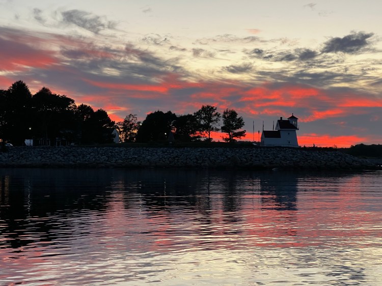
We only found an older Navionics posting that said not much was available in this little town, so we weren’t expecting much. However, sometimes an unplanned stop turns out to be a positive surprise and this one did not disappoint. We took our dinghy past the spit and entered the little town the the west. Once past the bridge, we found a floating dock, that is available to tie up to. The tourist info is right there and they were very helpful with directions. There are a number of little restaurants on both sides of the bridge, a hardware store on the south side and 2 big grocery stores and a liquor store on the other side. So we got everything we needed, even a post box to mail some cards and a really quiet night at anchor with just one other boat. The holding was also great and we did update the entry in Navionics to let other boaters know about this efficient stop. In fact, the sunsets over the lighthouse were quite spectacular.
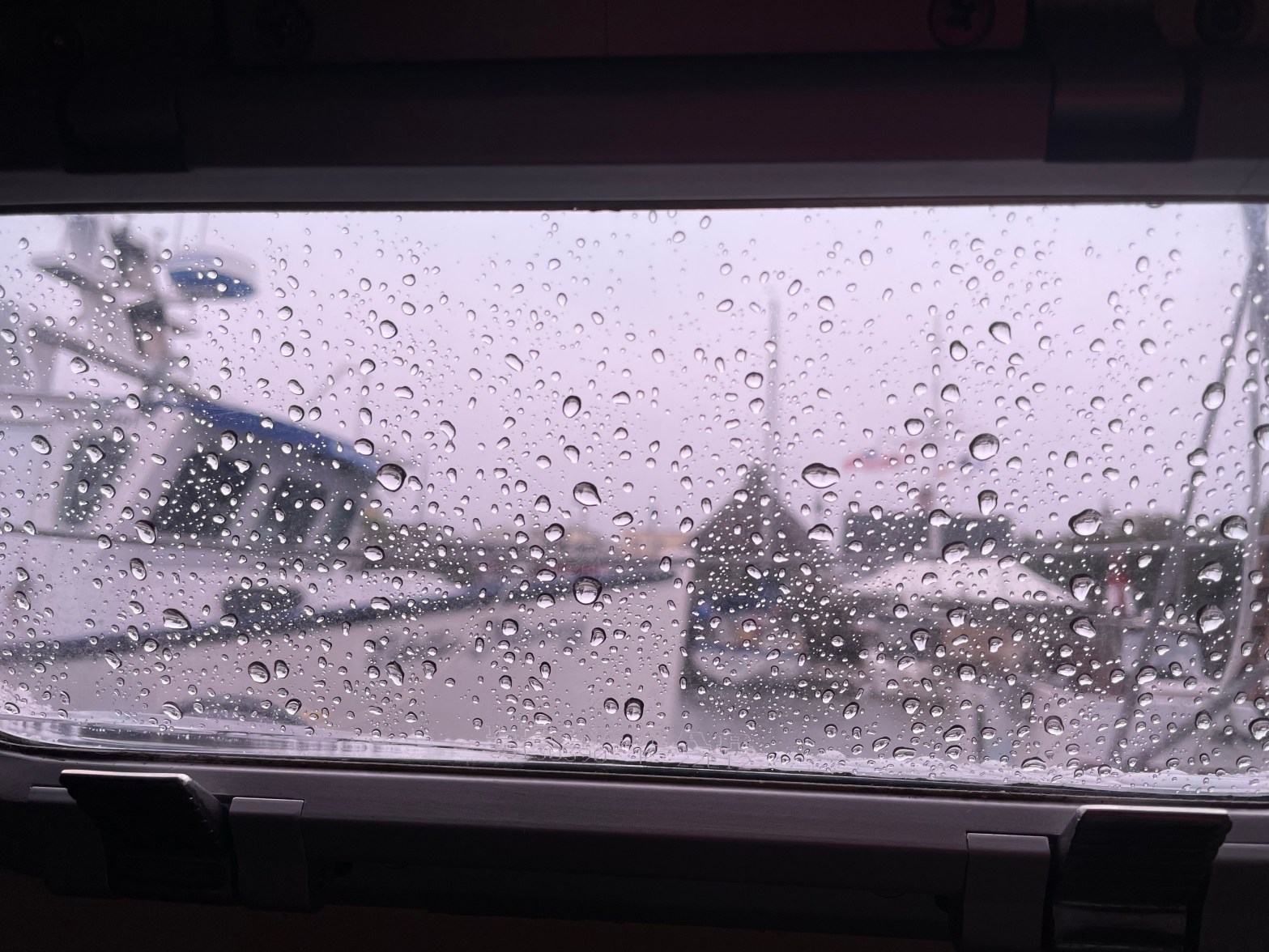
And then the fog came again. We left early next morning feeling our way out by radar and chart. There is nothing so erie as gliding along in your boat not being able to make out anything unless it’s really close. The lighthouse at Western Head guided us along with its fog horn blasts. All day we motored in fog, hearing the occasional lonesome bell of a buoy. We saw a seal swim by and the ghostly hint of a sailboat floating by. Then we entered into the bay to Shelburne. The harbour of Shelburne is quite a ways inland and in the fog we decided to just enter the Eastern Way which leads into Shelburne Harbour, but then turn west behind McNutts Island. Literally seeing nothing, we knew that there was some kind of fish farm on the west shore of the Eastern Way. Navionics reviews mentioned that it was much larger than marked on the charts and the radar was showing buoys half way out into the channel. Without radar we probably would have run into it. Although, in fog follow your nose – you can smell these things.
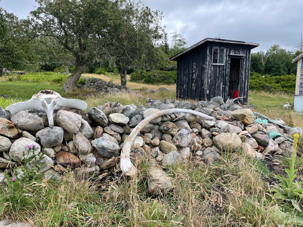
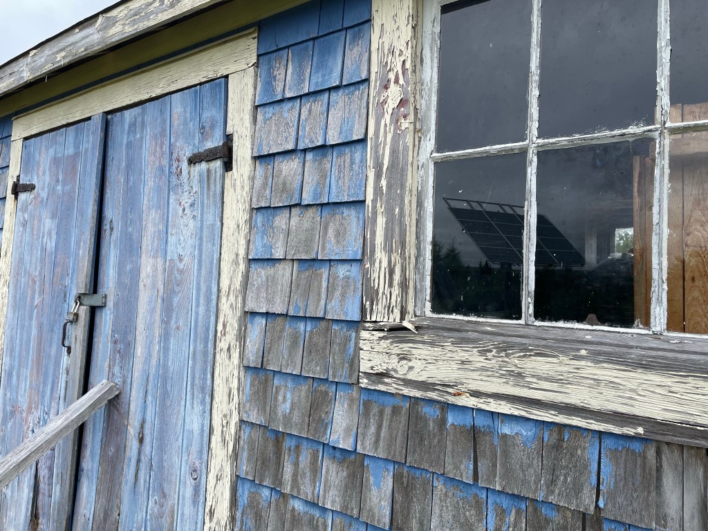
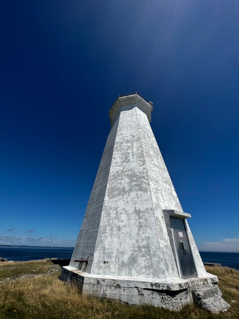
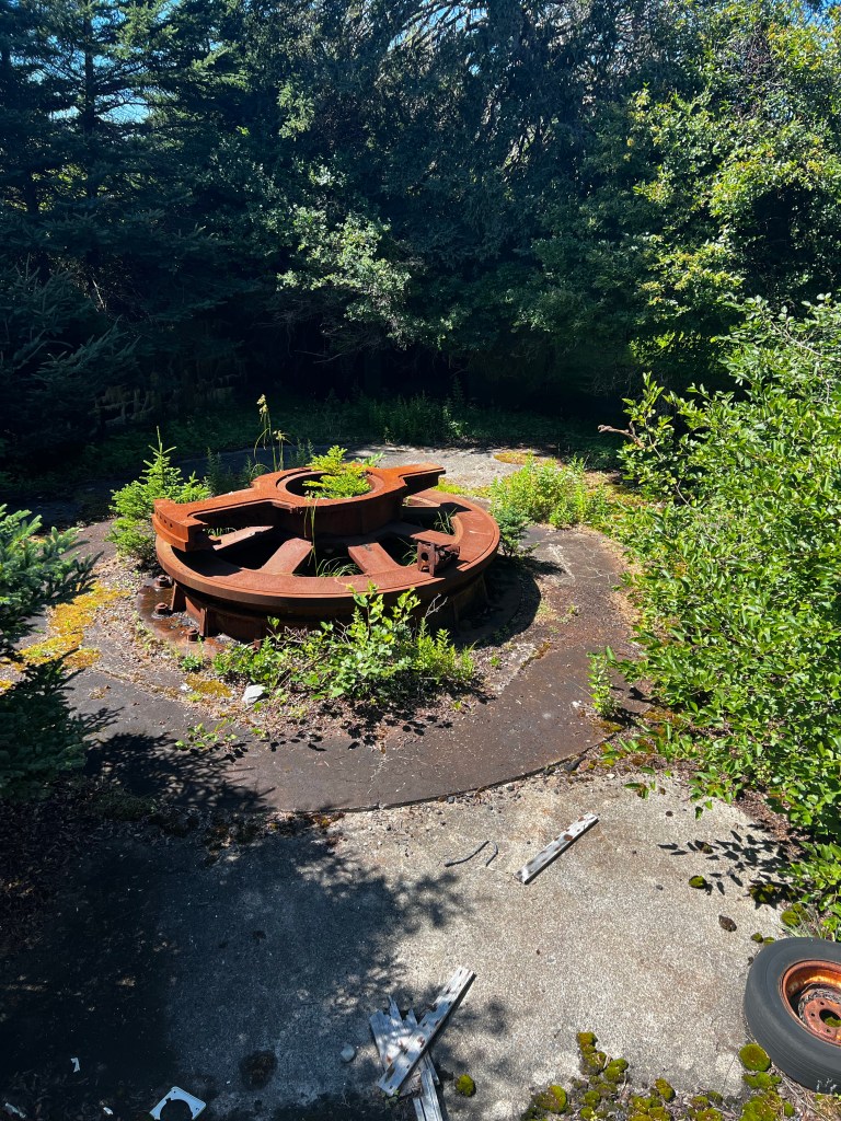
Once behind the island we could not see the land either but anchored by chart and depth sensor. The fog lasted until about 11am the next morning, when we could finally see where we were. McNutts Island, just like its name suggests, has a curious history. It was “named for Alexander McNutt (1725-1811) who was a British army officer, colonist and land agent, responsible for overseeing approximately 500 Ulster Scottish immigrants arrive in the province in the early 1760s. During this decade, he lived with his brother on McNutts Island. The [property] later passed into the hands of Moses Pitcher, a member of the Port Roseway Association of United Empire Loyalists, and then on to three more families, most notably the Perry family who built the current Jerusalem farm house and owned the property from approximately 1857 to 1911.” ( McNutts Island and historic Jerusalem farm) The old farmhouse is still there among other seasonal dwellings and there are apparently tours by boat from Shelburne. It looked like they would be done by ATV and trailer to the lighthouse and battery on the south shore. There is an even a tunnel between the two guns. Yes, a battery of two 10inch M1888 guns where built during WWII and one can still see them as well as the foundations for some living quarters and storage areas as soldiers and their families were stationed here to protect the harbour of Shelburne.
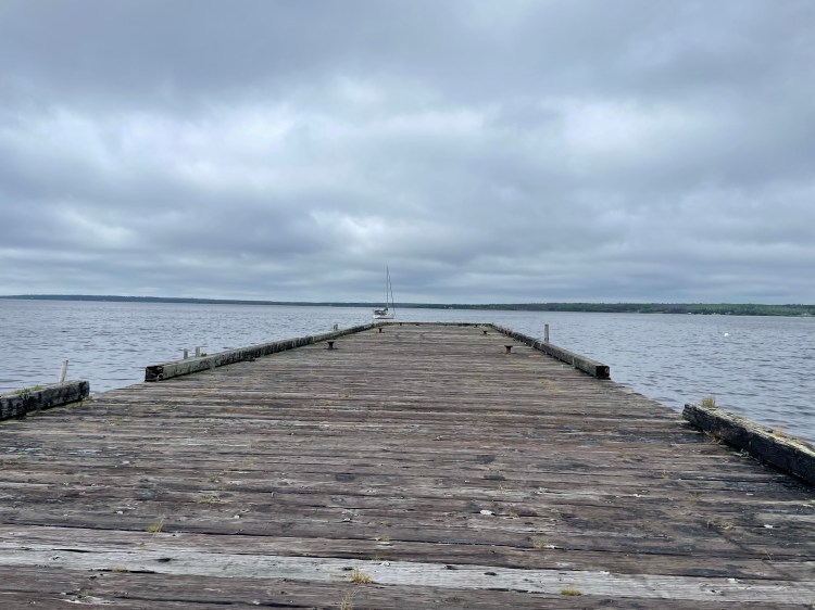
We spent a fun day as the fog had lifted, exploring the island. The hike out to the lighthouse and back is about 12-14 km. We tied our dinghy to the large old warf, which leads right to the ATV trail. In hindsight, tying to the old dock was probably not the best idea. It’s old and quite high out of the water at low tide. There is an old ladder attached to get up to the dock at low tide. When we got back the dinghy was so far down it was getting pushed into the pilings.
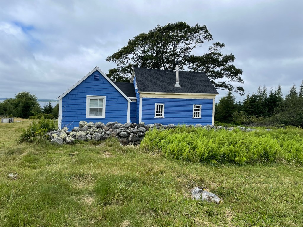
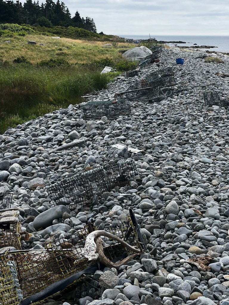
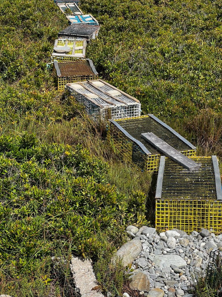
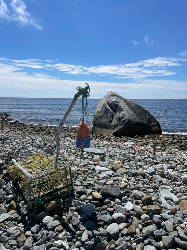
First we walked along the road into Hagar’s cove, where we did find the old Jerusalem farm, which was built in the late 19th century. It’s still occupied and has some of the old stone hedges and trees from the original apple orchard. Next we went out along the boulder beaches along the south west shore of the island. Not the easiest walking for about 8km, but it gave us a glimpse into how much fishing gear is lost at sea. There were hundreds of old lobster traps littering the beach, some people had even build a little boardwalk to their cottages out of old traps.
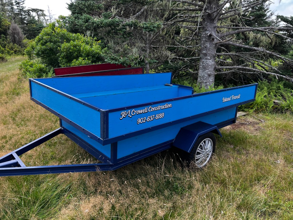

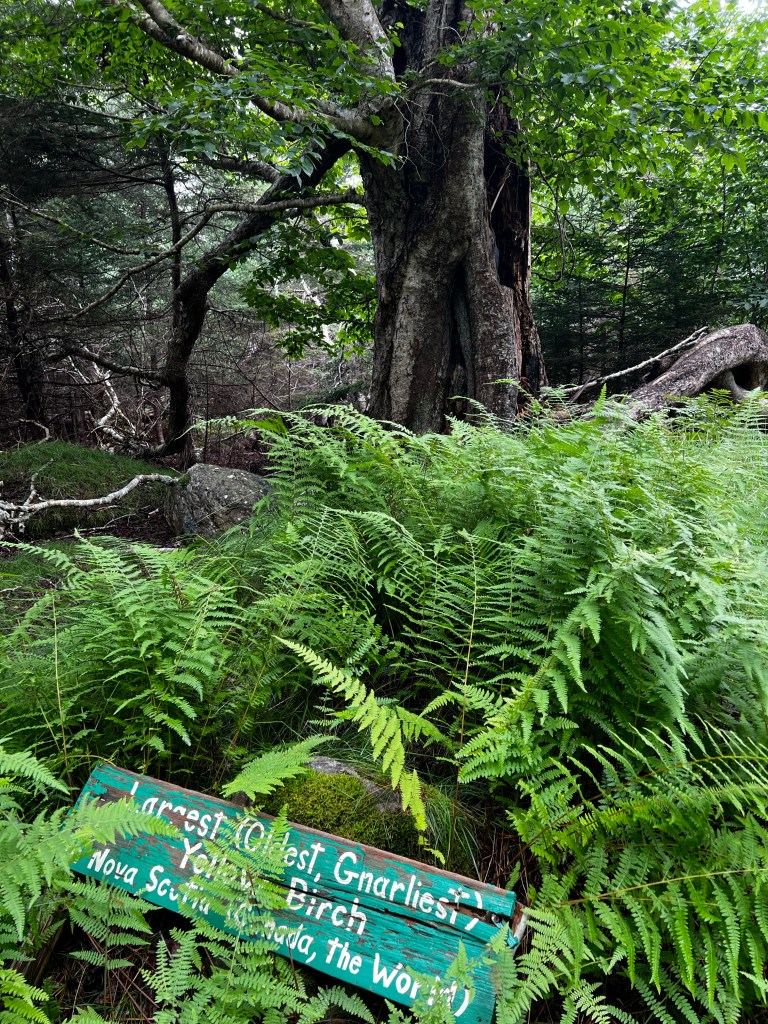
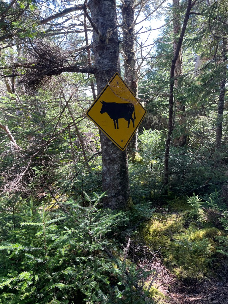
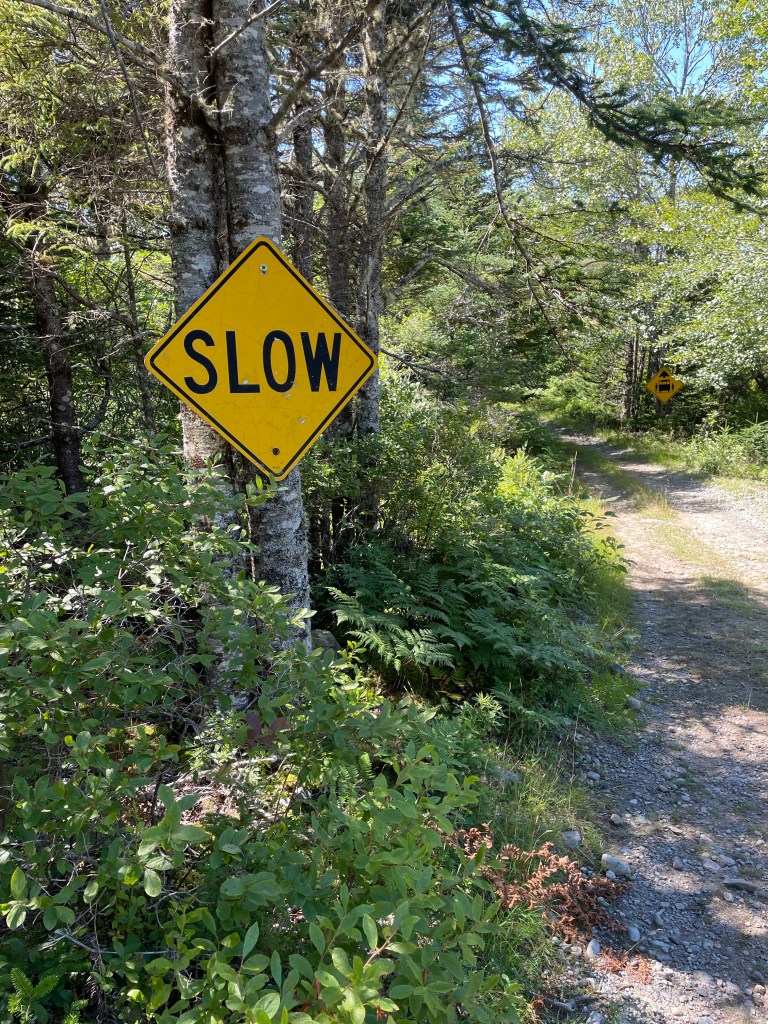
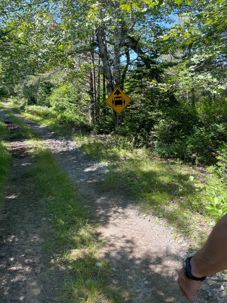
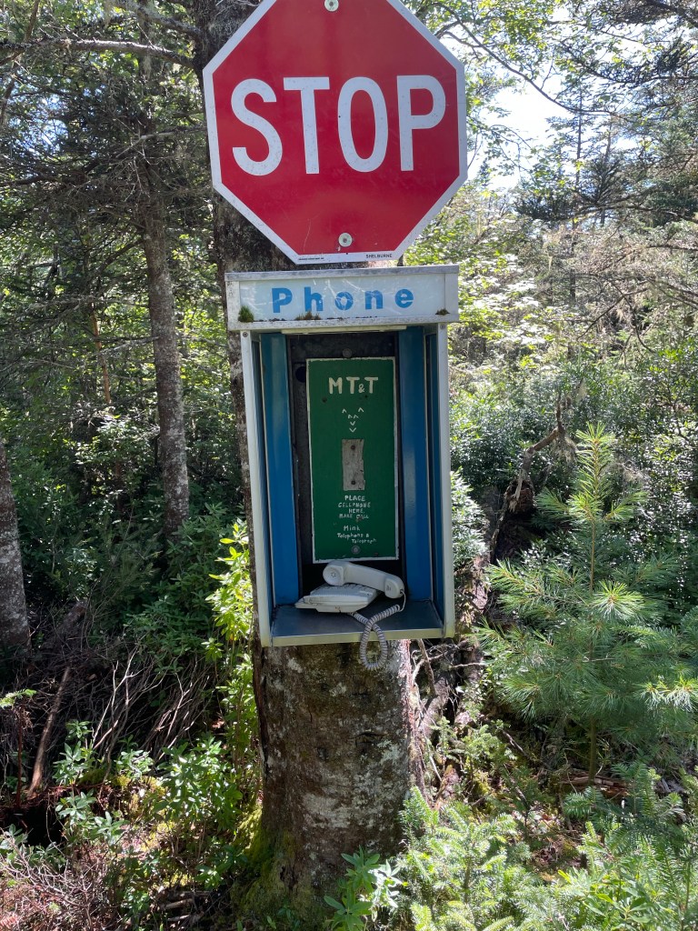
On the way back we followed the trail which was an easy and pleasant walk. We were being entertained by Mr. Minks antics. A former resident of the island he must have been quite a character as he equipped the island with all kinds of traffic signs (pilfered from the Shelburne region). Heck, there’s even a public telephone booth:
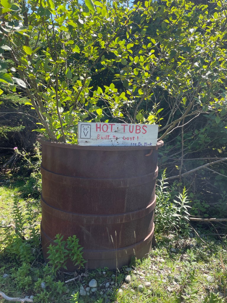
Some of Mr. Minks illustrious signs: phone and traffic signs: From the oldest, gnarliest Yellow Birch in the World? to witches, cows and school bus stops. The phone really works (if you follow the directions and place your cell phone in the assigned spot) and the Hot Tubs are built to last, as you can tell. Mr. Mink is a Jack of all Trades!


The next day greeted us with fog again and rain in the afternoon. We made our way further down the coast and stopped on the north west side of Stoddard Island. We have no idea what it really looks like as the fog never lifted. We didn’t see any of Cape Sable, the most southerly point of Nova Scotia either, but winds were light and seas relatively calm with a little more swell around the cape. After a stop at Stoddard Island it was a quick and easy run up to Yarmouth harbour, which took us only about 6h for the 34NM stretch. We made use of the tide coming into the Bay of Fundy, pushing us north toward Yarmouth. Especially around shoals and shallower areas we could feel the riptides and eddies. It’s a really strange experience to be motoring on oily looking water, with no wind but fog and then suddenly be surrounded by choppy little haystacks from the tidal streams.
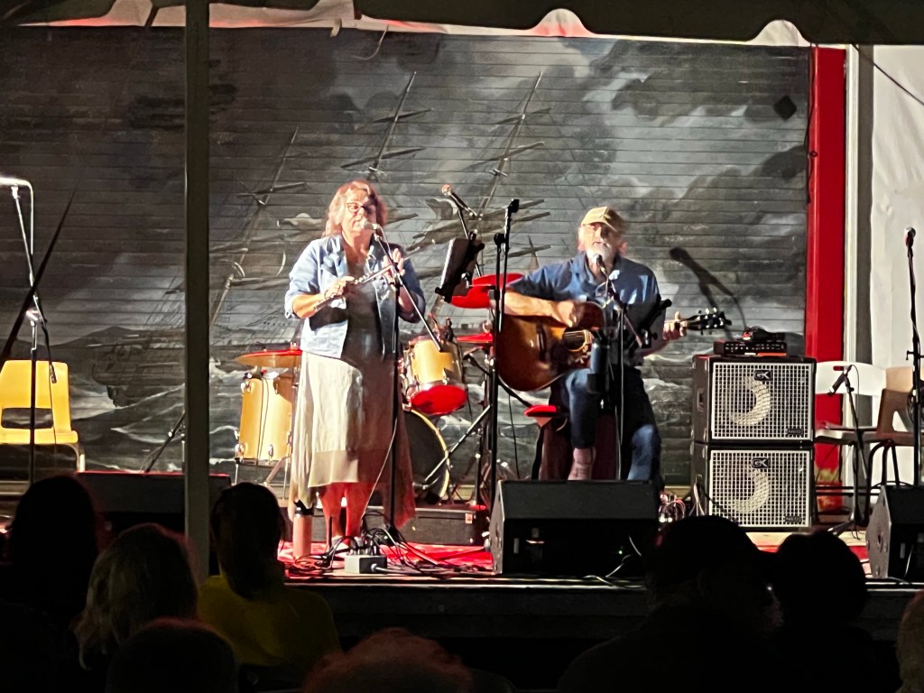
In Yarmouth we stayed at the Killem Brothers marina on a floating dock for the next 5 days, enjoying their weekend Coal Shed Music Festival, with music all day long right at the dock, rain or shine – and boy, did it rain the first day.
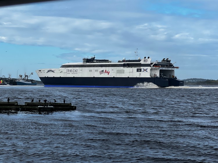
Every day the impressive high speed ferry from Bar Harbor would dock behind us at 5pm and leave again at 9am. We never grew tired of watching it.

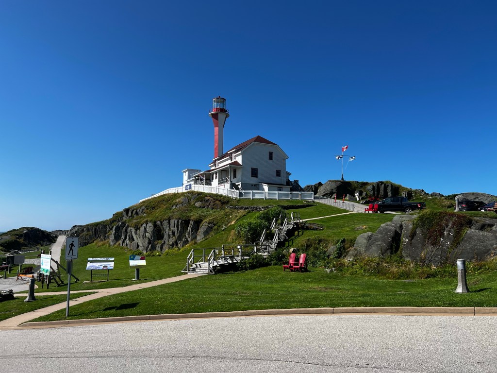
We did a couple of lovely bike rides. Once around the Bay to Cape Forchu and the Lighthouse, which offers a great view over the Bay of Fundy coast. You can watch the waves crashing onto the rocky shoreline on the west side, walk around tidal pools on the point and enjoy calm beaches on the east side. The uniquely apple core shaped lighthouse offers tours and a museum.
pics of Cape Forchu
Another bike ride to the east and inland, followed some of the Yarmouth County Rail Trails and brought us to Tusket, where we stopped at the Tusket Falls Brewing Company and had a lovely lunch on their comfy patio.

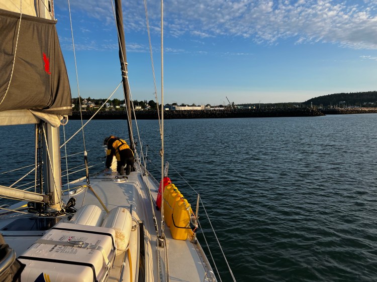
We had done our provisioning, laundry, water and fuel top up and the weather was looking good, so it was time for us to jump across the Bay of Fundy. There were many options such as doing it in a longer overnight passage and landing around the Bar Harbor area in Maine or doing a shorter run to the more northern coast of Maine, or even stopping in Grand Manan on the way, a Canadian Island belonging to New Brunswick. We decided to again use the favourable tide current in the morning helping us to Seal Cove, in Grand Manan. After 11 hours for a 64NM run we anchored in the shelter of the pier around the inner working fishing harbour. The winds were now coming from the North but light and we had a pleasant sleep. Our last night in Canada – we were excited to enter Maine and the US.
| Date | Description | Distance | Travel time |
| Aug. 12/23 | LaHave River to Liverpool anchorage | 26.95NM | 6:22h |
| Aug. 13/23 | Liverpool anchorage to McNutts Island anchorage | 44.81NM | 8:27h |
| Aug. 14/23 | McNutts Island anchorage | ||
| Aug. 15/23 | McNutts Island to Stoddart Island anchorage | 39.57NM | 8:23h |
| Aug. 16/23 | Stoddart Island to Yarmouth Harbour, Killam Brothers Marina | 34.27NM | 6:07h |
| Aug. 17 to 20 | Yarmouth Harbour, Killam Brothers Marina | ||
| Aug. 21 | Yarmouth Harbour to Seal Cove, Grand Manan | 64.68NM | 10:59h |
| 10 days | Total | 210.28NM | 40:18h |
| 76 days | Total trip so far | 1522.09NM | 297:12h |
